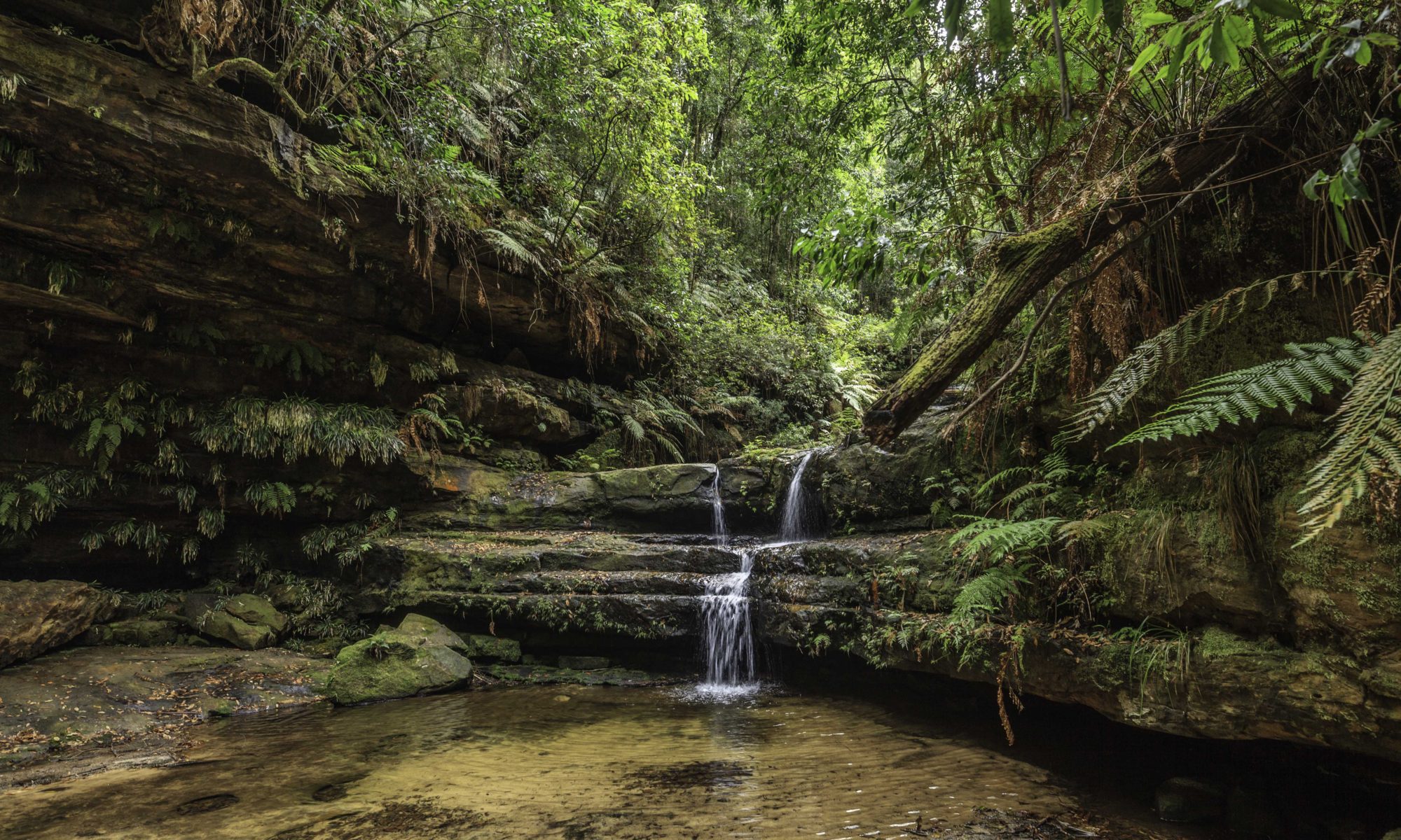

Road Trip Time
Our road trip started near Camden heading towards Penrith,and then through the townships that make up the Blue Mountains heading towards Lithgow. From this point on,new adventures were awaiting us. Let the Australia Day long weekend start, with new digital memories.
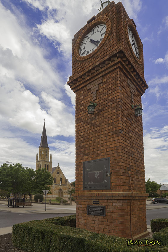
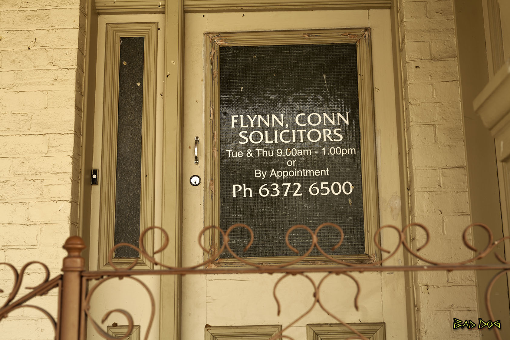
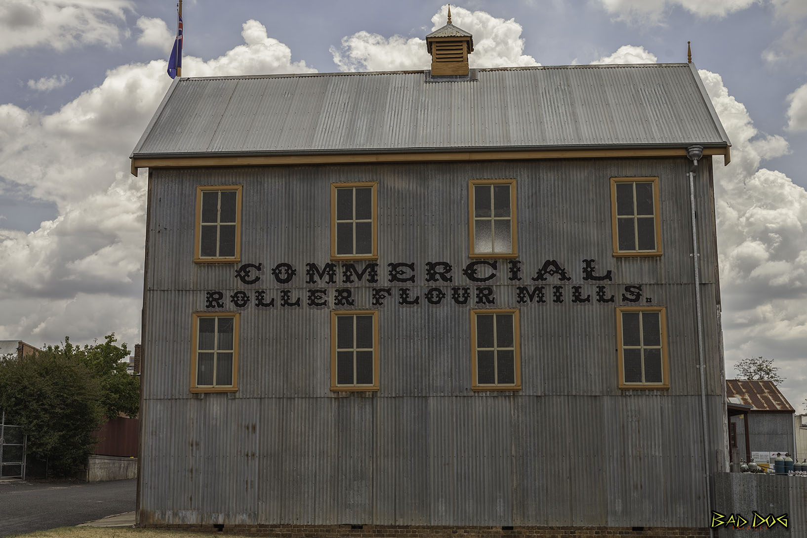
Mudgee
Mudgee is a town northwest of Sydney. It's known for its colonial buildings.
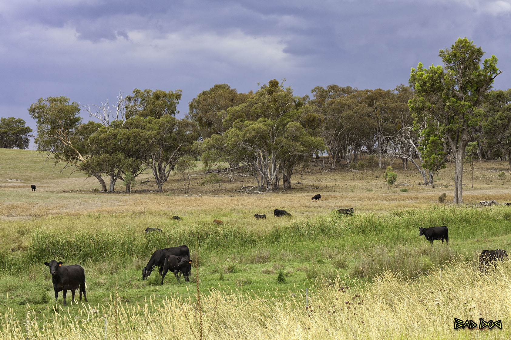
Mudgee has developed as a wine producing region and is therefore dependant on wine manufacturing as a major part of its economy. It is also heavily dependant on several major mines in the surrounding area.
Other rural produce includes cattle, sheep, wheat, alfalfa, olives, fruit, tomatoes, corn, honey, and dairy products. These, however, do not play as major a role as the mining industry.
The Ulan coal mines are in the district. During the 19th century, the area was a major goldmining area and the district also produces marble, pottery clays, shale and dolomite
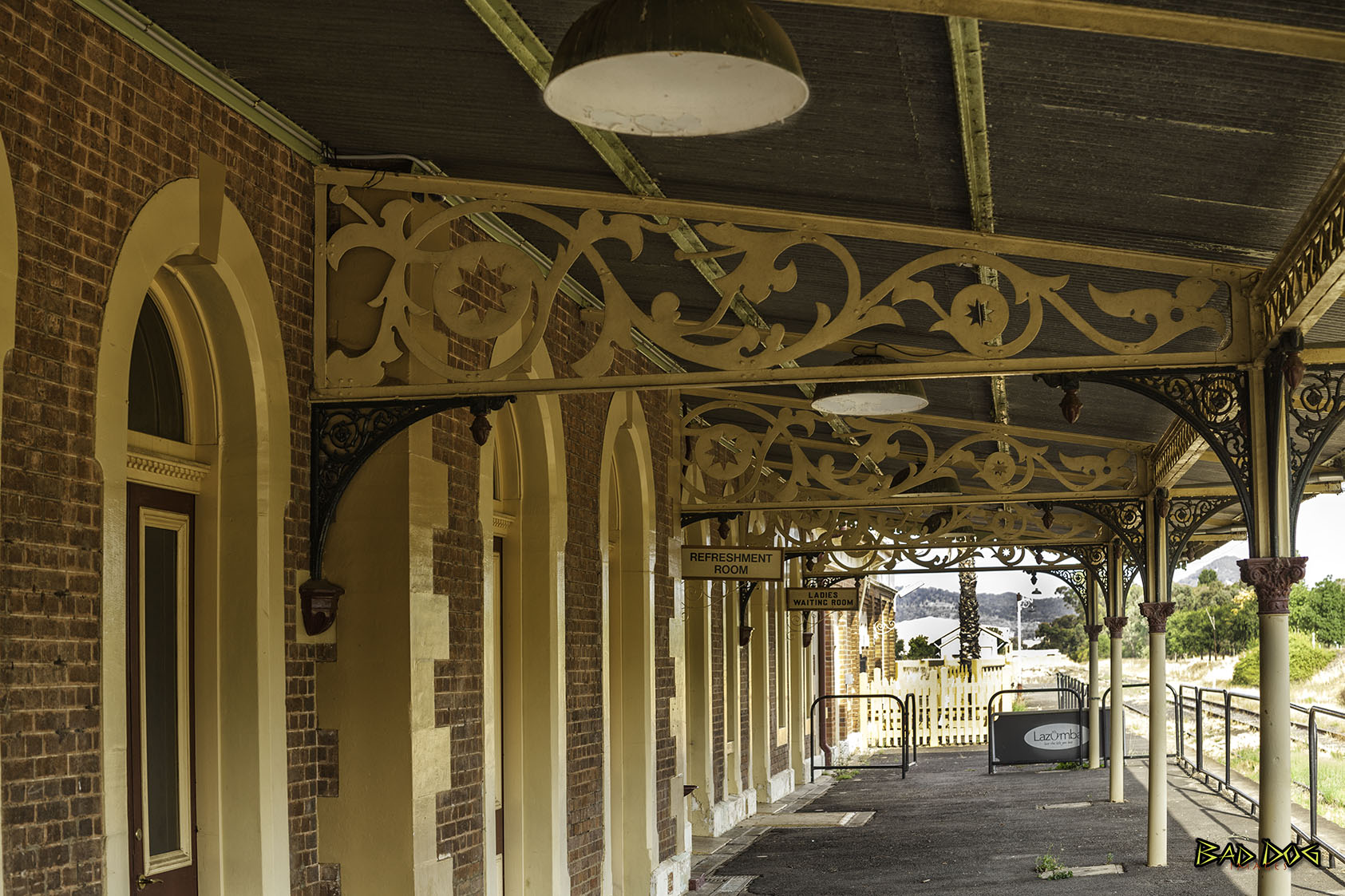
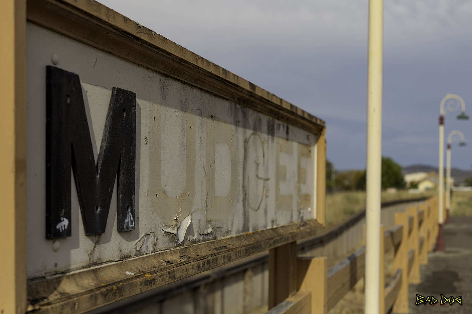
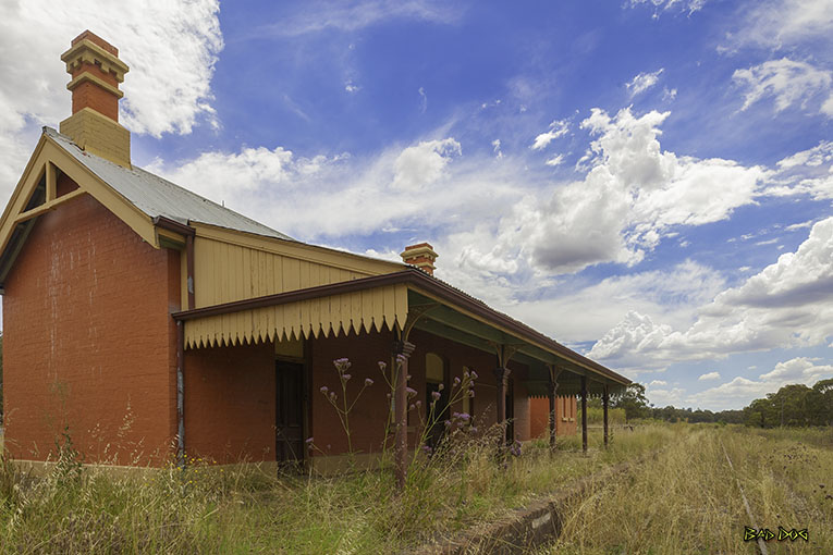
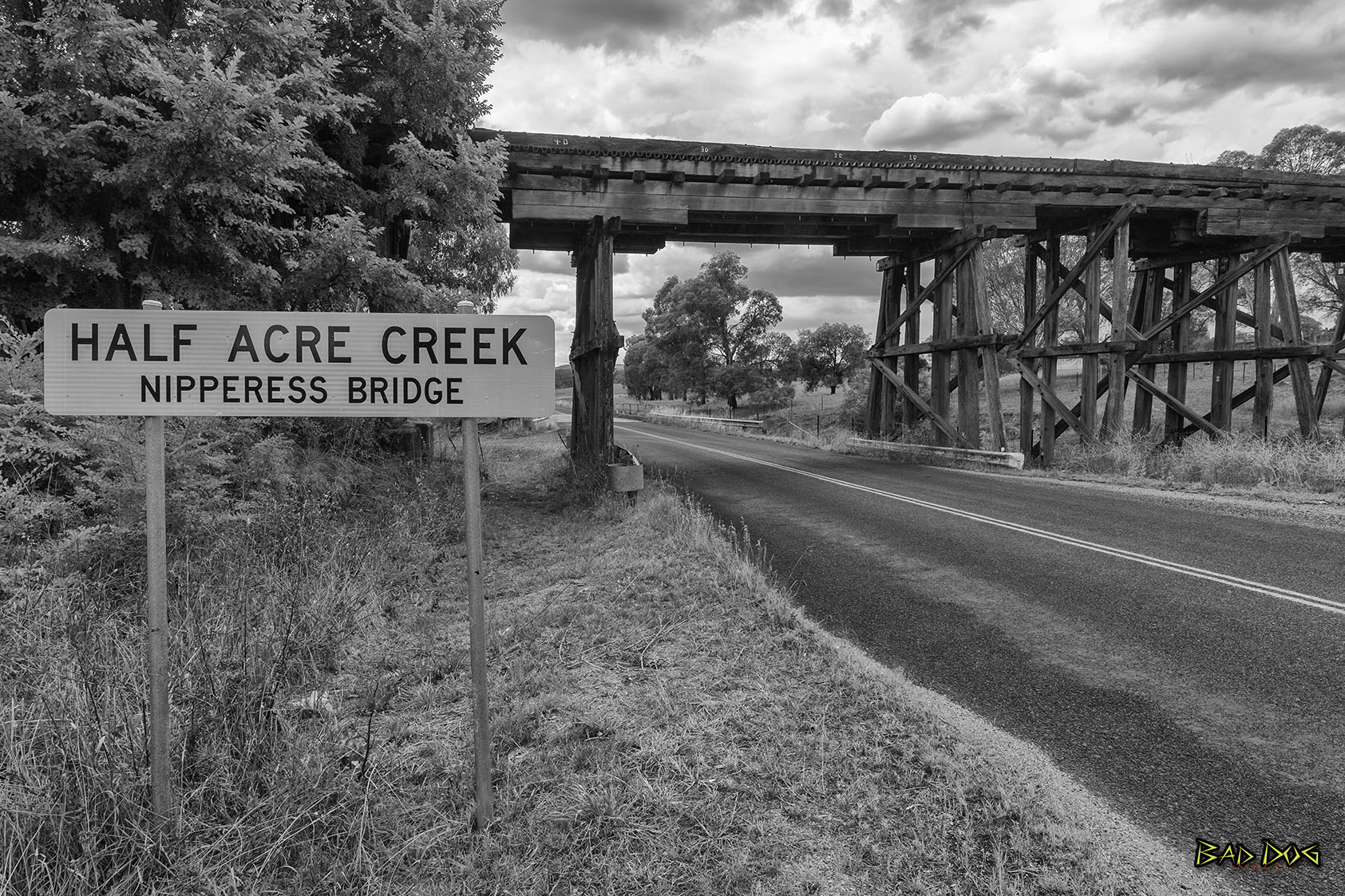
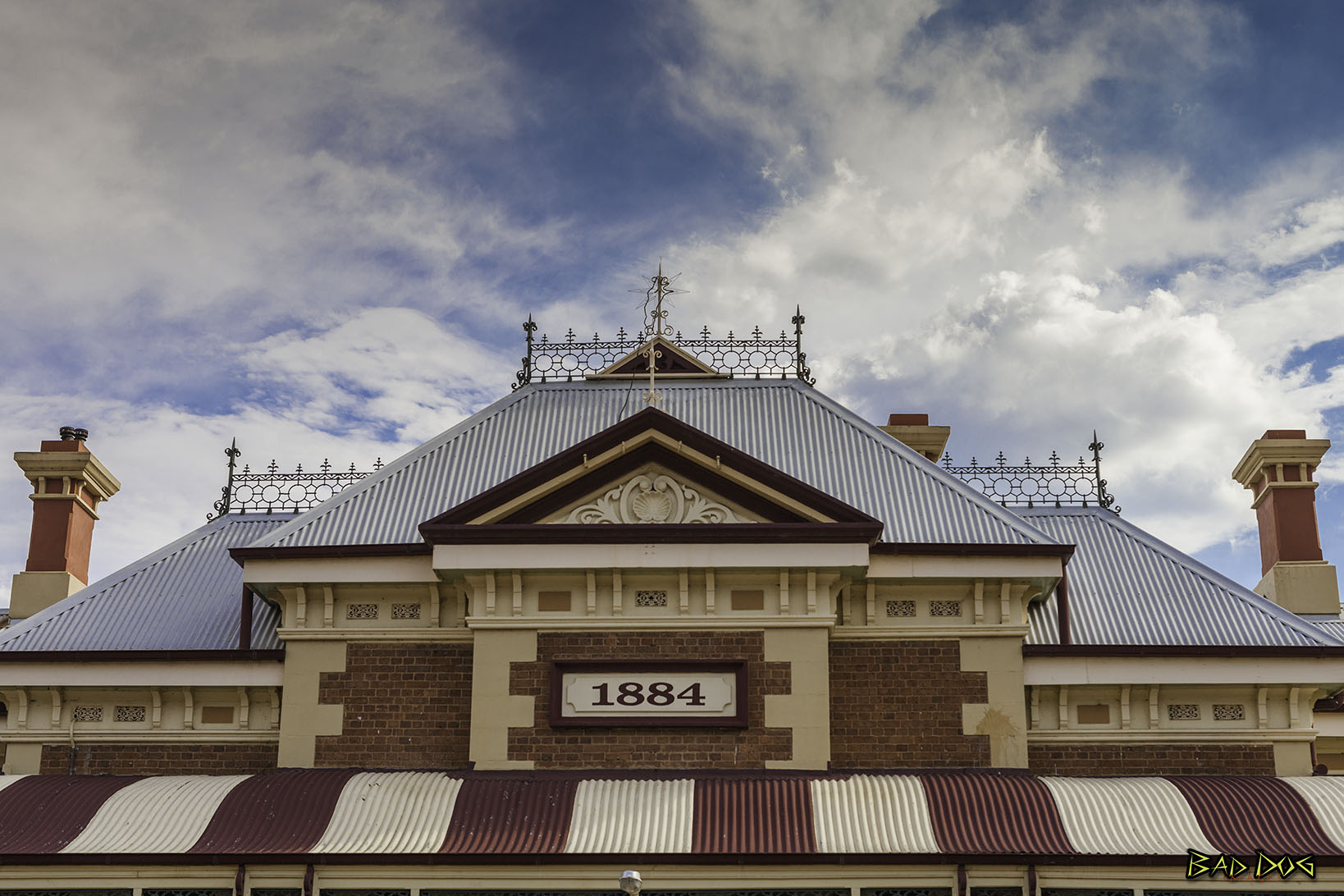 Mudgee Railway Station
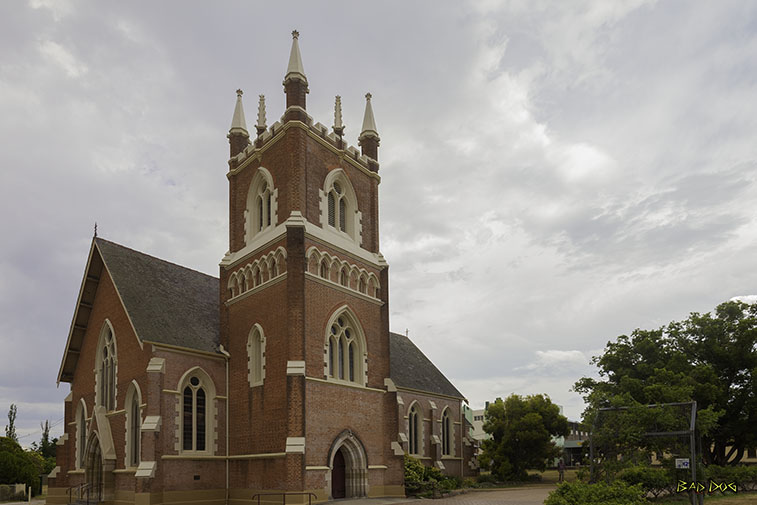 St John's Anglican Church Mudgee
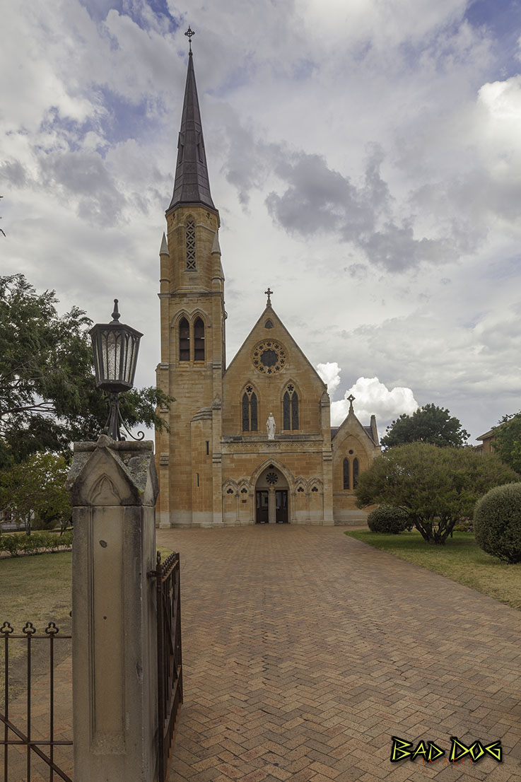
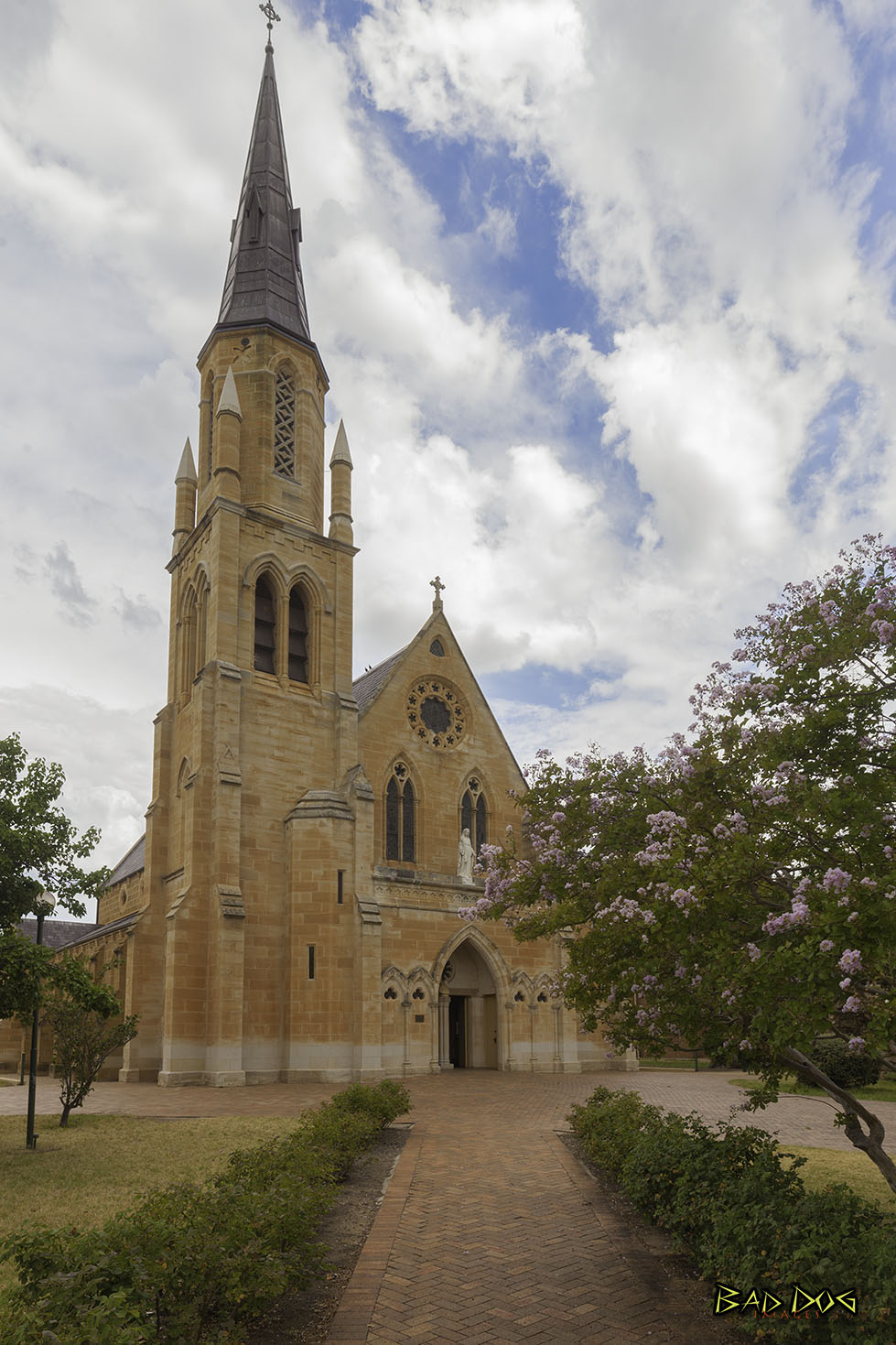
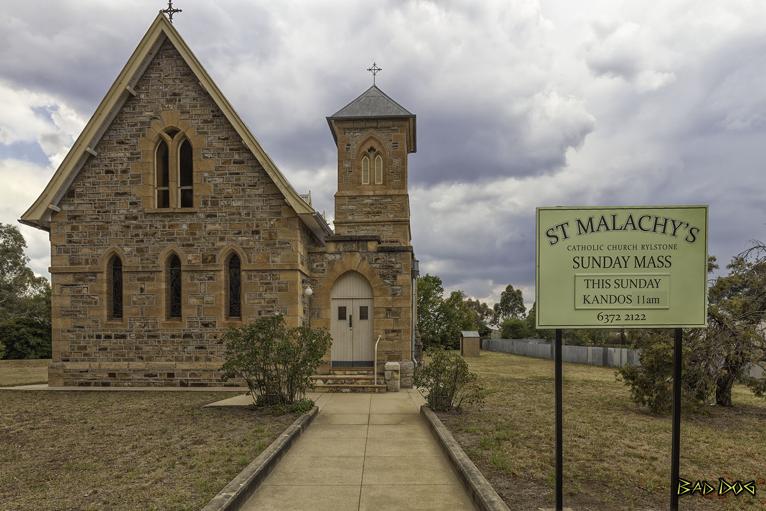
 St Mary of the Presentation Catholic Church
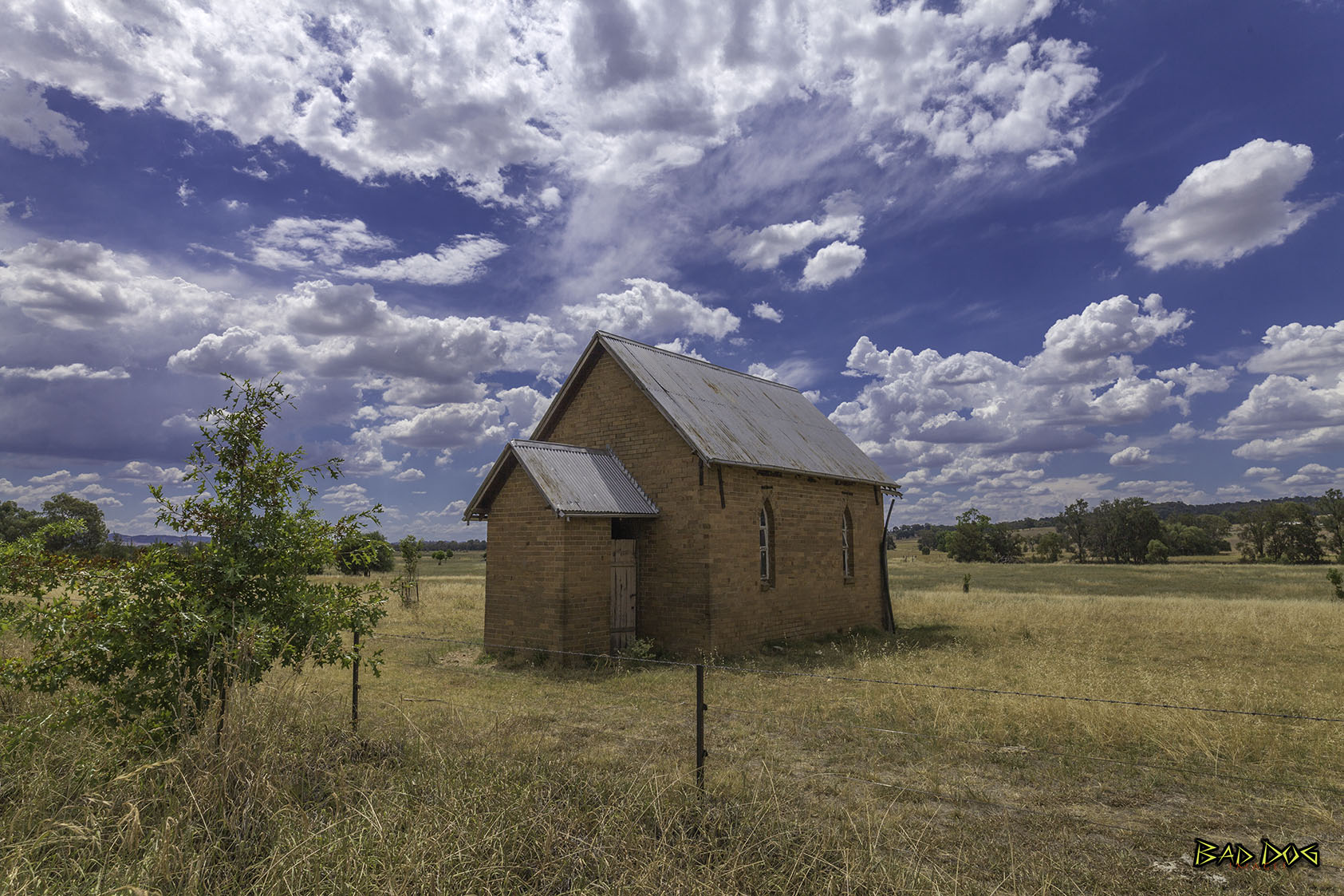 House of God
Origin of faith Unknown
Rylstone
Rylstone is a small town in New South Wales, in the Central Tablelands region within the Mid-Western Regional Council local government area. It is located on the Bylong Valley Way road route. At the 2016 census, Rylstone had a population of almost 650 people.
Aboriginal history
The local indigenous Aboriginals were the Dabee tribe and they in turn were part of the broader Wiradjuri group of people. Some of the localities in the area are derivations of Aboriginal words.
- Lue (chain of waterholes) believed to be pronounced in the Aboriginal language like Loowee
- Mudgee believed to derive from Moothi meaning nest in the hills
- Dabee - name of the local Aboriginal Tribe and the Fitzgerald's property was named after
- Wollemi - is derived from an aboriginal word meaning "watch out" or "look around you"
- Cudgegong - meaning red hill, noted for the red clay used by the Aborigines in body decoration
- Tong Bong, pronounced "Tung Bung"
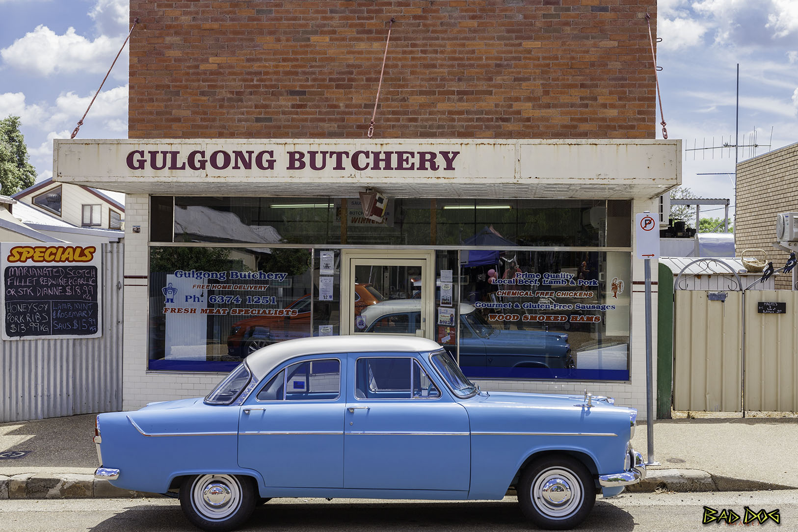
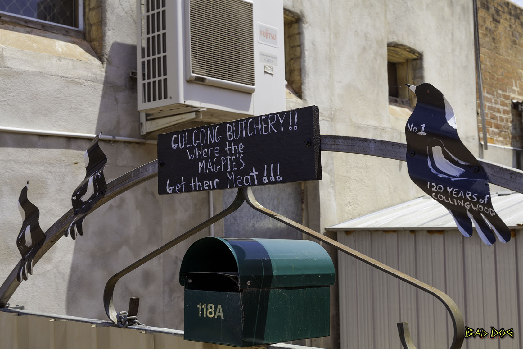
Gulgong
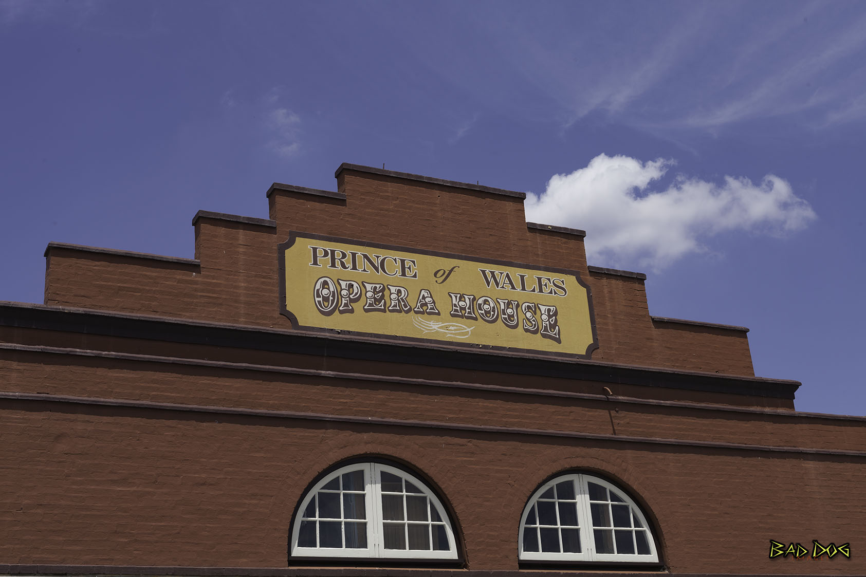
Gulgong is a 19th-century gold rush town in the Central Tablelands and the wider Central West regions of New South Wales. The town is situated within the Mid-Western Regional Council local government area. It is located about 300 km (190 mi) north west of Sydney, and about 30 km north of Mudgee along the Castlereagh Highway. At the 2016 Census, Gulgong had a population of 2,521.
Today, much of the 19th century character of the town remains, contributing to its appeal as a tourist destination. Of special interest is the Prince of Wales Opera House, a survivor with a rich history.
The name 'Gulgong' is derived from the name used by the traditional inhabitants, the Wiradjuri, for 'deep waterhole'. Like several towns in this area, it began as a gold mining centre. However, being founded in the 1870s, it was one of the last to be dominated by 'poor man's diggings', that is by individuals without substantial capital investment.
Novelist and bush poet Henry Lawson lived briefly in Gulgong as a child in the early 1870s, while his father sought instant wealth as a miner. A montage of goldrush-era Gulgong street scenes was used as a backdrop to the portrait of Lawson on the first Australian ten dollar note (which was in use from 1966 until replaced by a polymer banknote in November 1993.
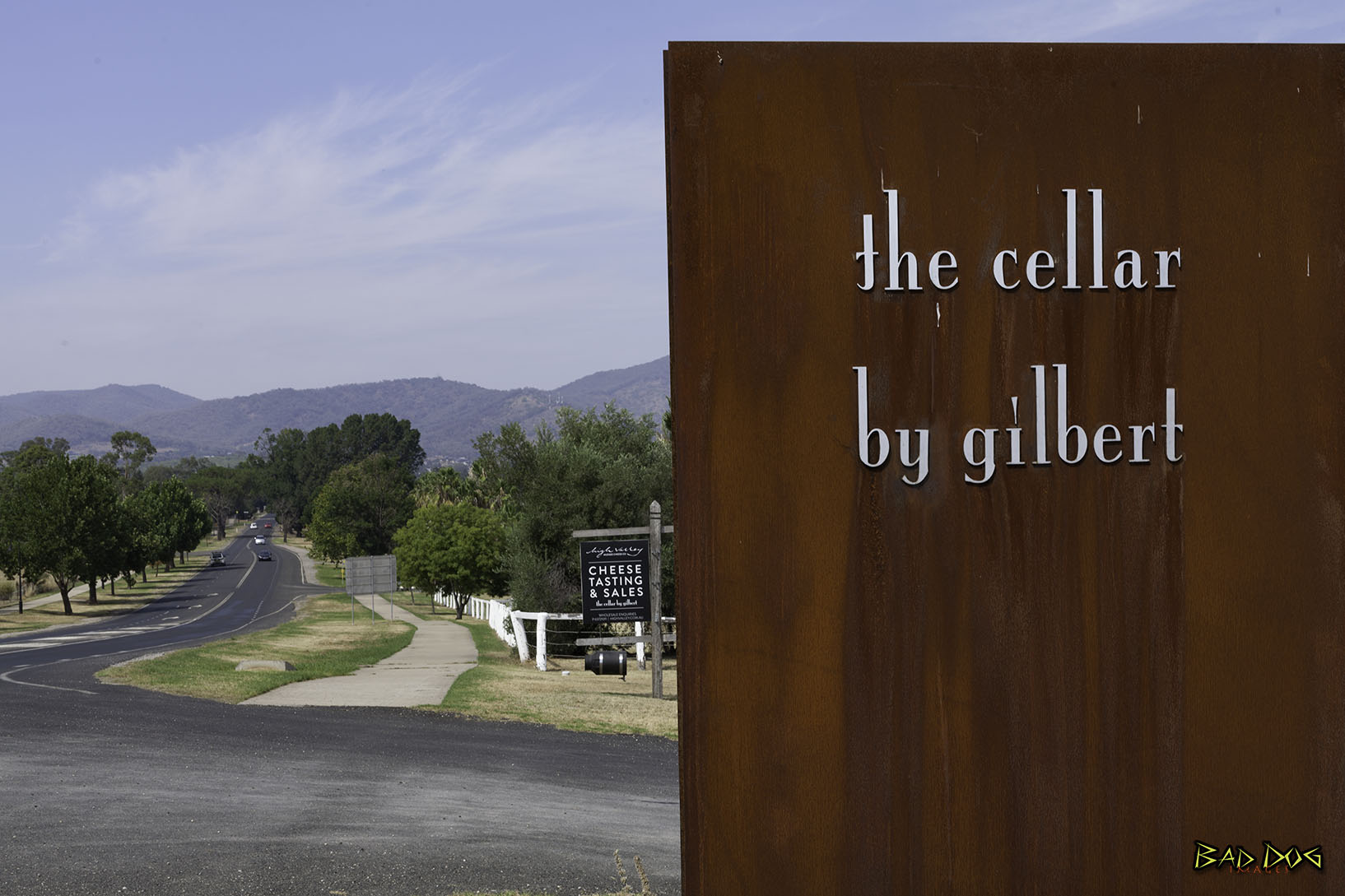
 Just a three and half hour road trip, or 45 minute flight from Sydney, you’ll find an ideal escape from the hustle and bustle of the city.
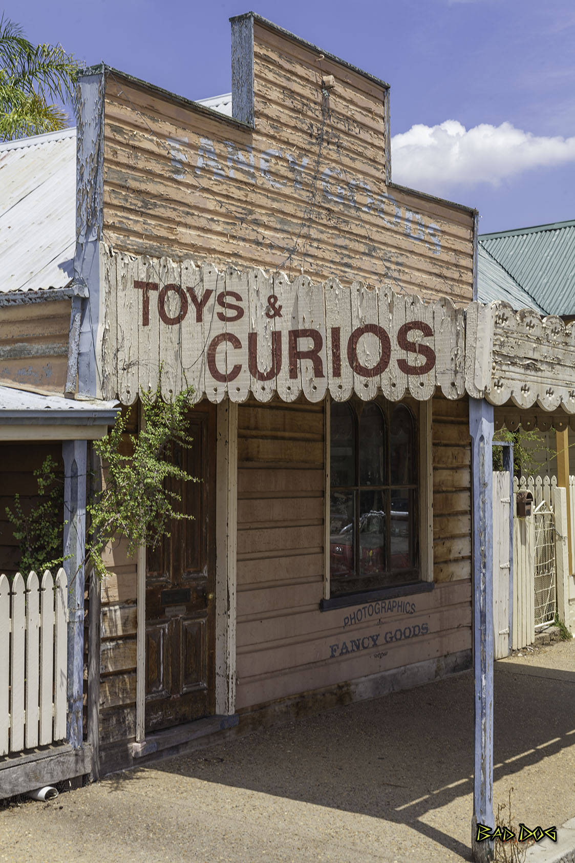
Lue
Lue (chain of waterholes) believed to be pronounced in the Aboriginal language like ‘Loo-wee’ was originally named Dungaree. The village was moved to allow for the installation of the rail line in 1884 when it was a busy little village on the route to the Hunter Region. In its heyday, Lue boasted a bakery, hotel, blacksmith, two general stores, a product merchant and butcher.
Today there’s a popular pub, the unique Lue Pottery and some self-contained and farm stay accommodation options. Take the scenic drive to Rylstone from Mudgee via Lue.
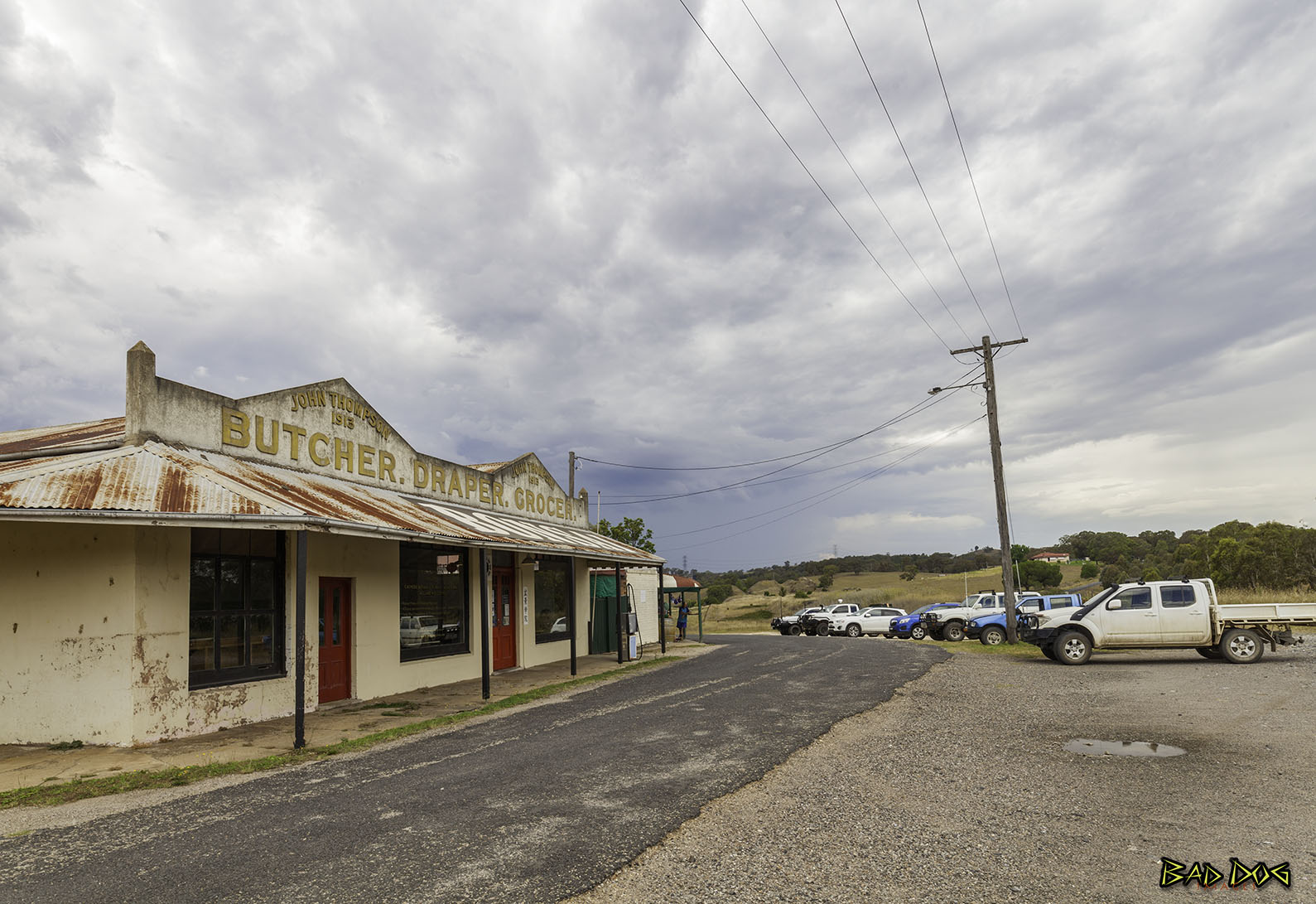
Birriwa
Birriwa is a locality in central New South Wales.
Birriwa is located on the Castlereagh Highway in the central west of New South Wales between Gulgong and Dunedoo.
The Gwabegar railway line came to Birriwa and a station was opened there in 1909. There is no longer a passenger service, but a large grain silo remains in operation where the railway line crosses the Castlereagh Highway at a level crossing.
The Chinese bushranger Sam Poo shot and killed policeman John Ward at Birriwa in 1865.
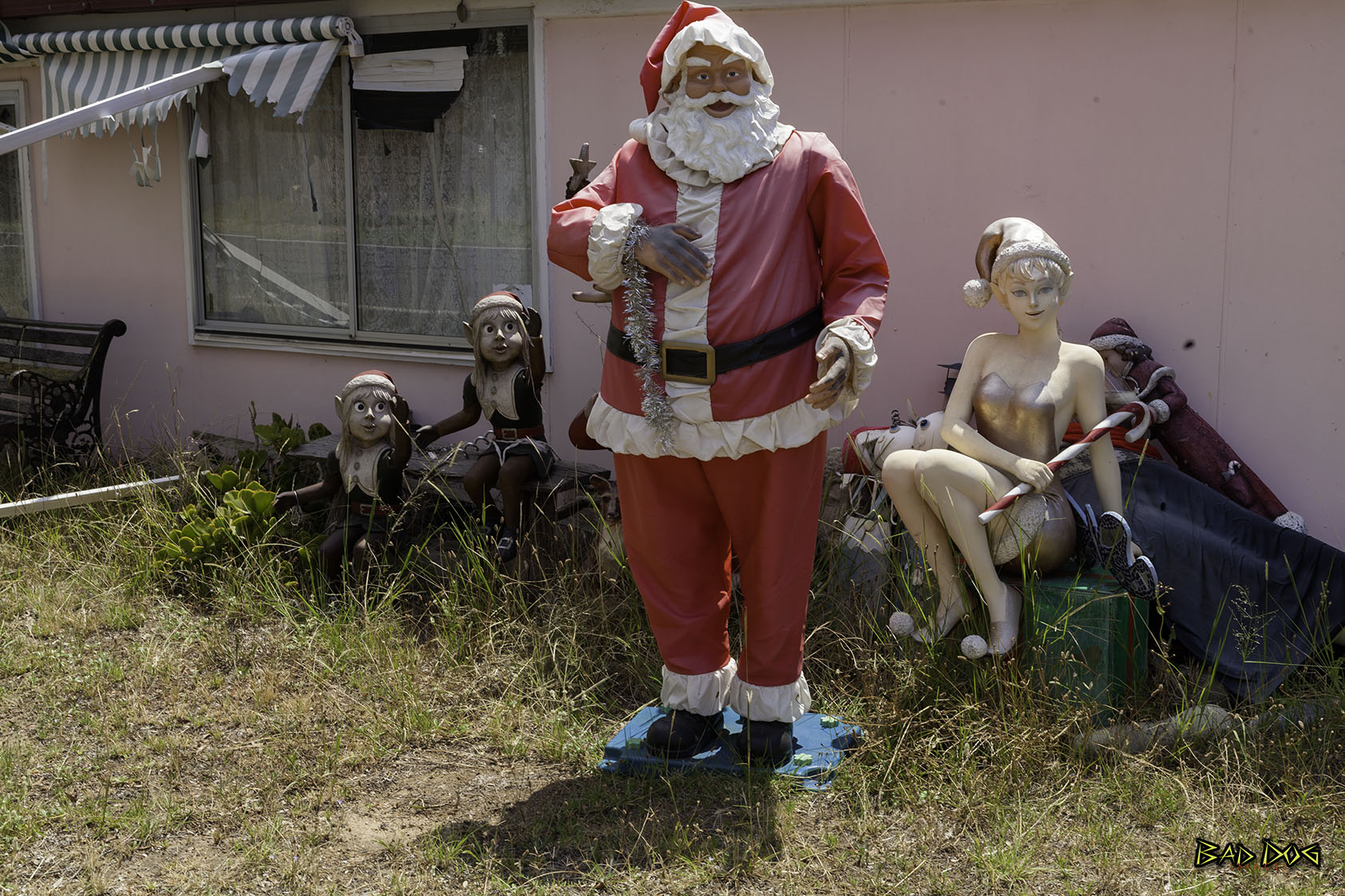
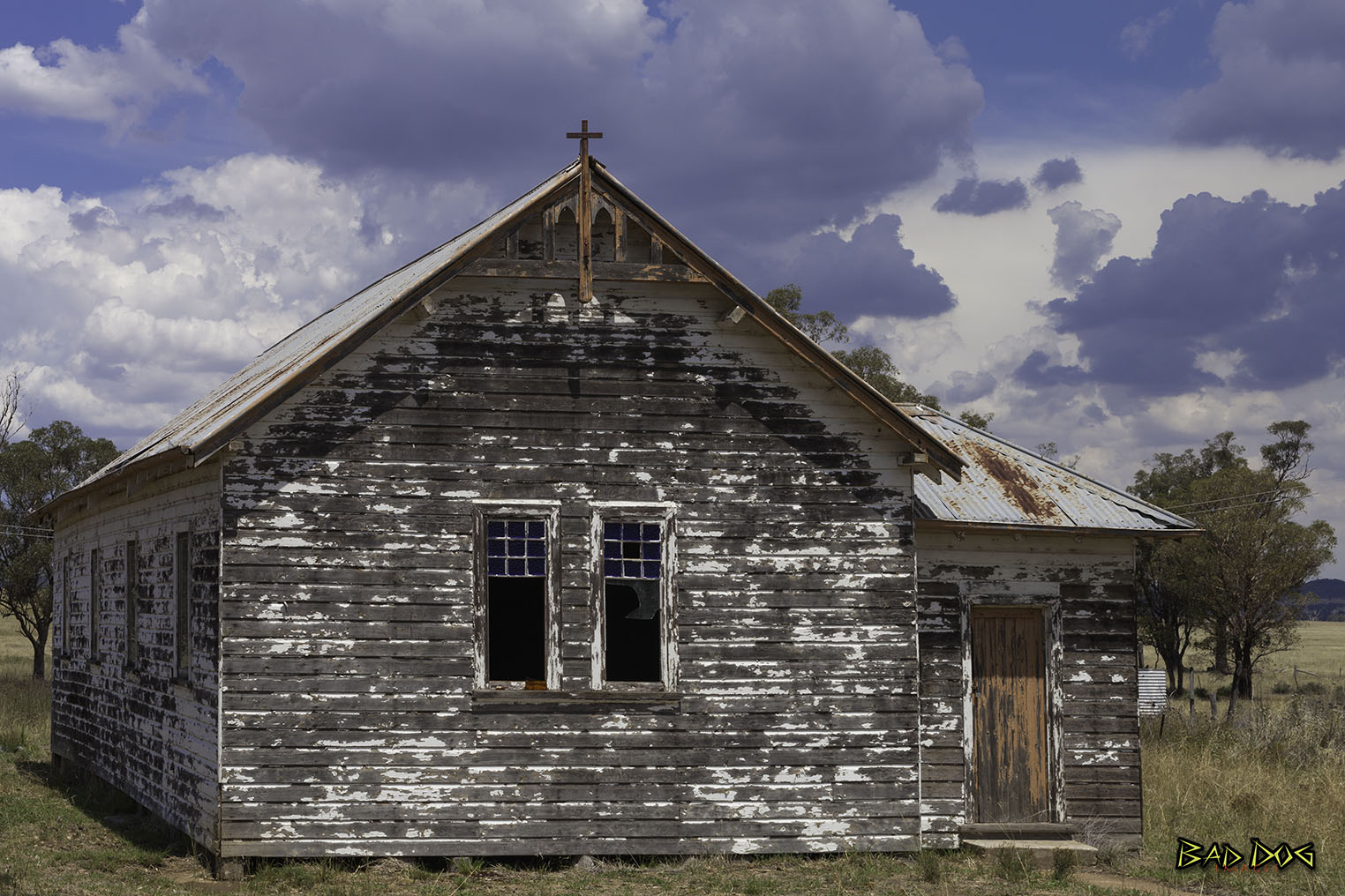
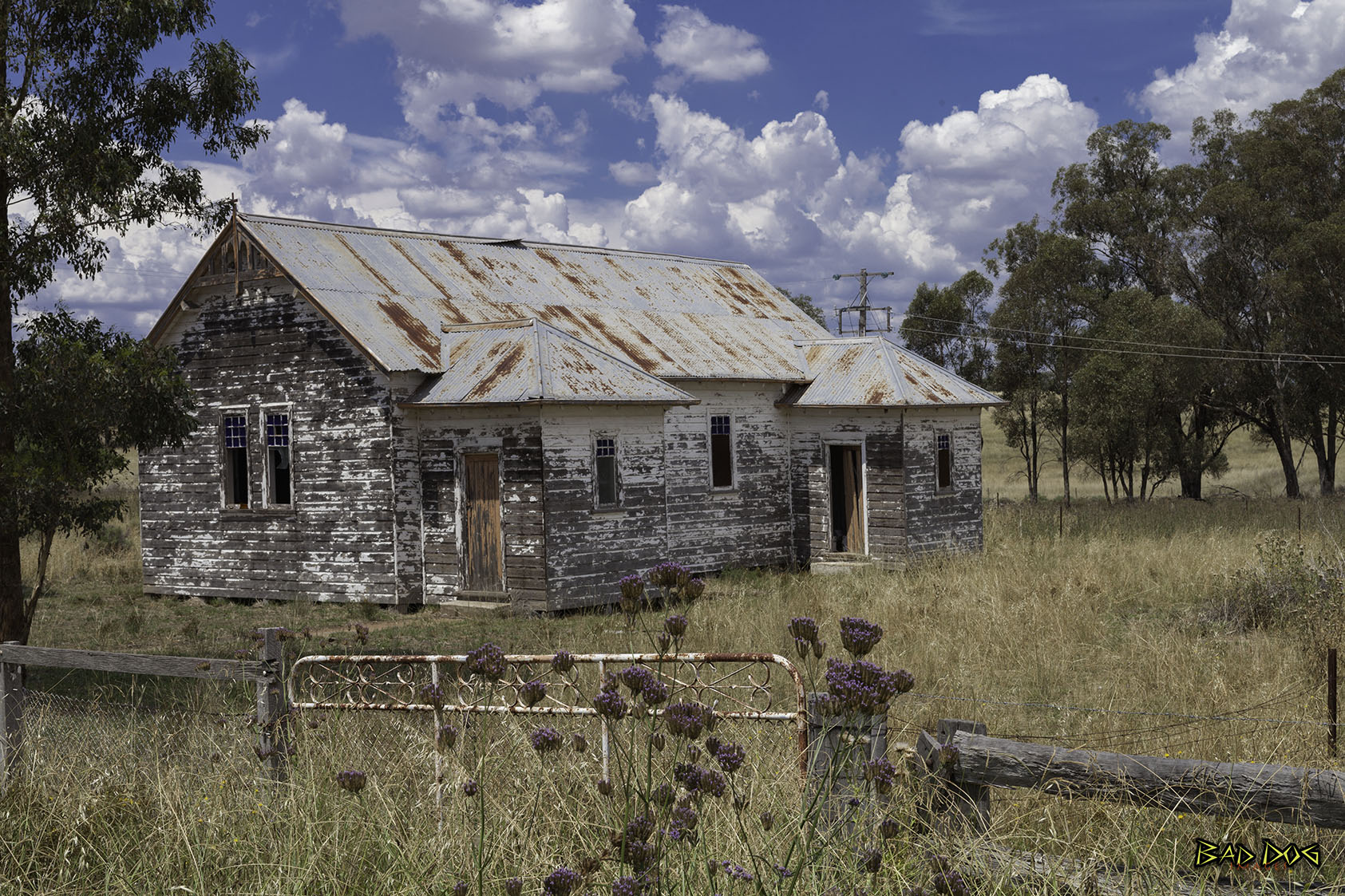
Unfortunately,Birriwa is now a collection of churches brought from elsewhere, and a few houses that have seen better days.