From North to South
On the 8th February we departed Kingsford Smith airport bound for Wellington New Zealand to begin our 10 day explore. The adventure was to find new locations for further exploration at a later date. Plus a revisit of Queenstown as a stop over before heading to Milford Sound.
Wellington
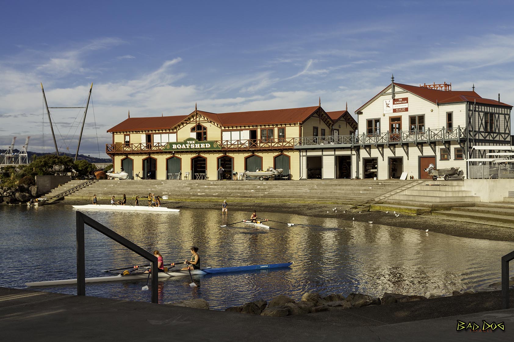
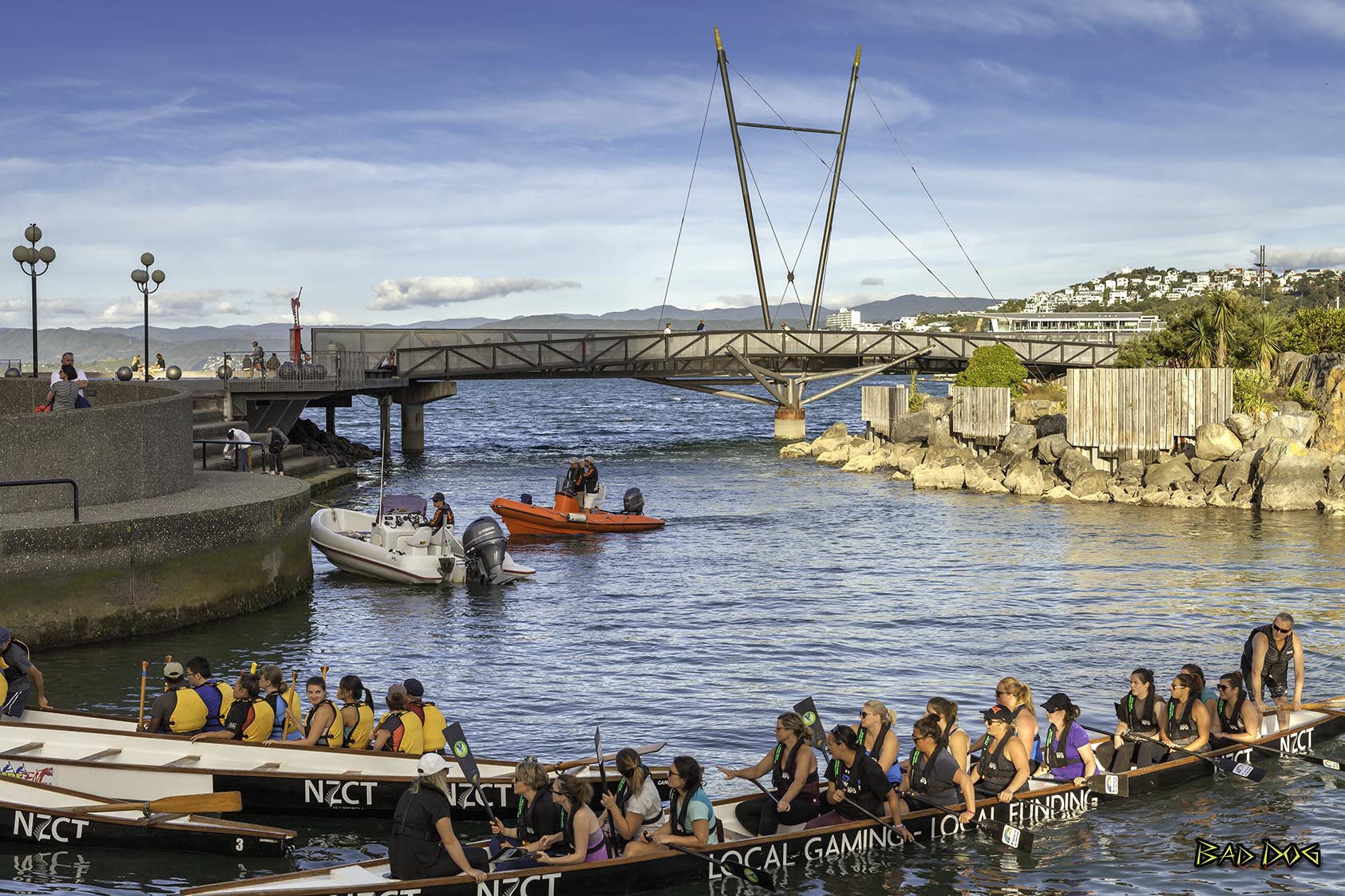
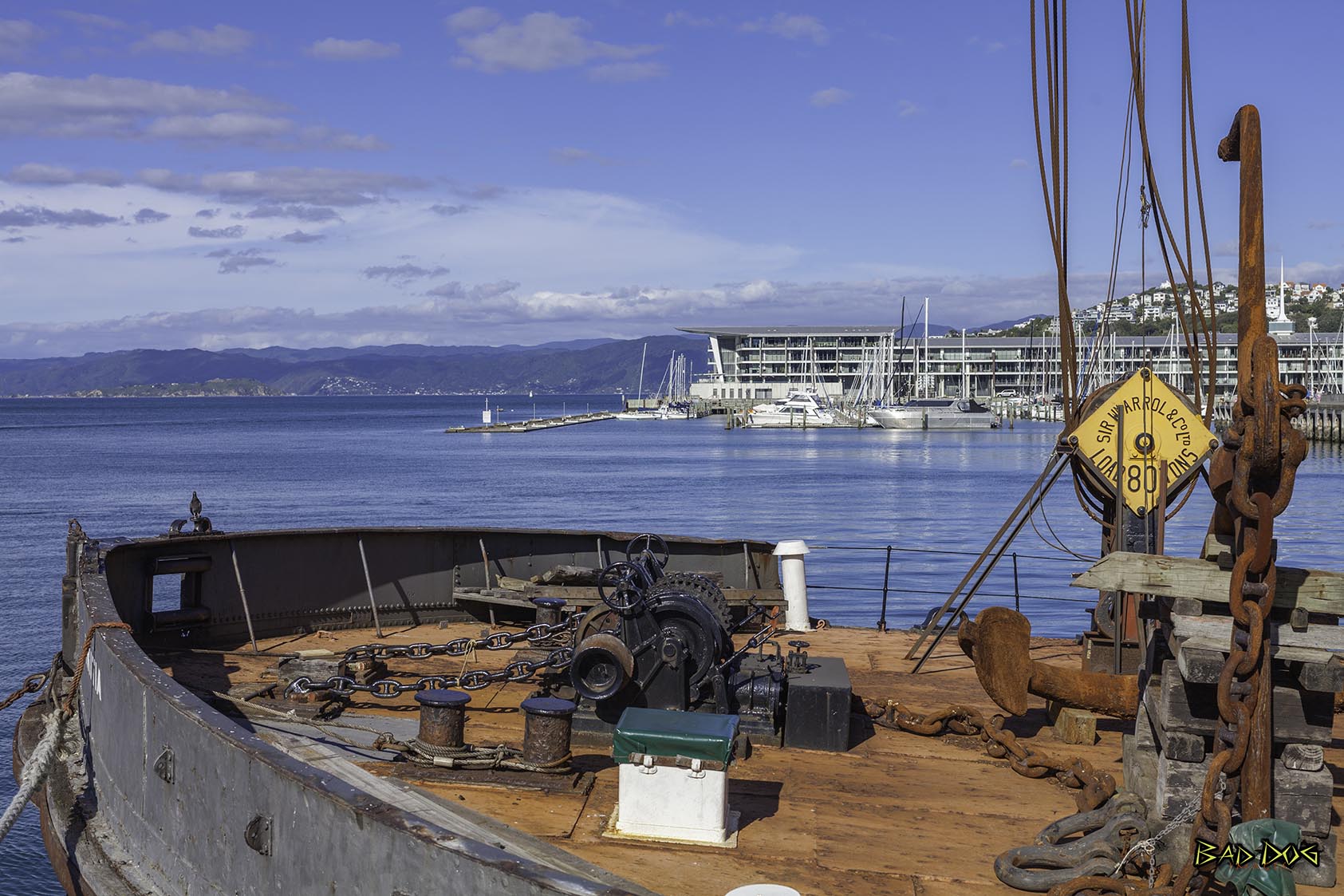
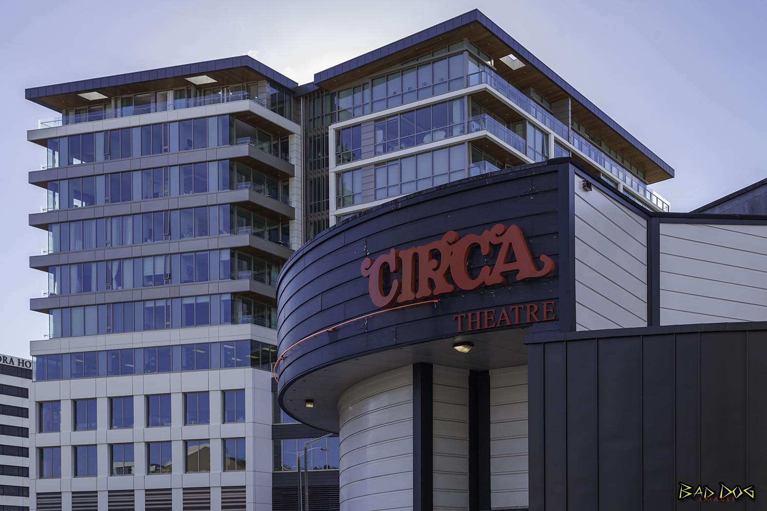
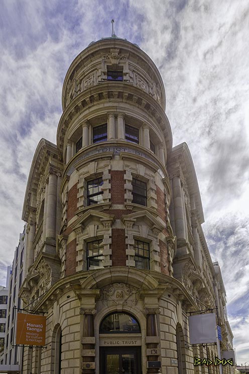
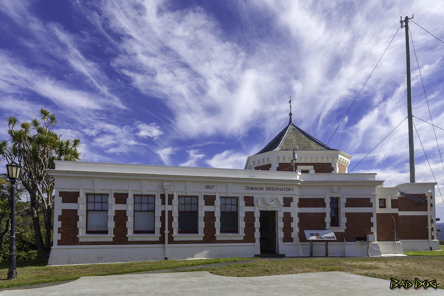
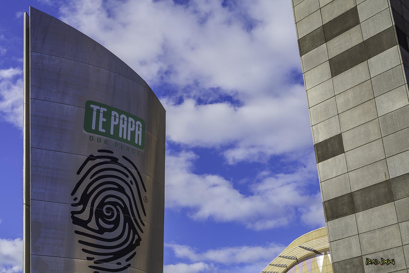
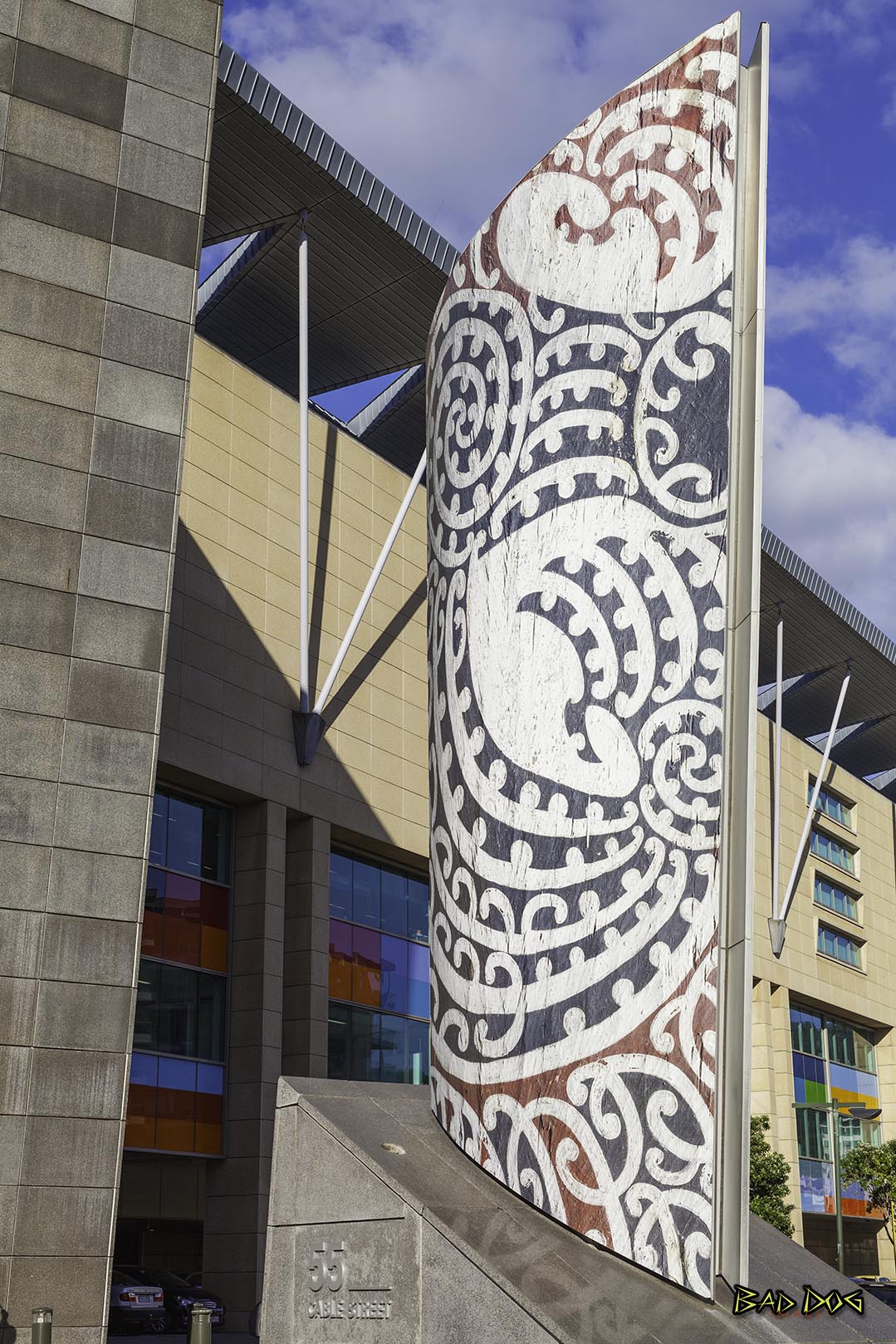
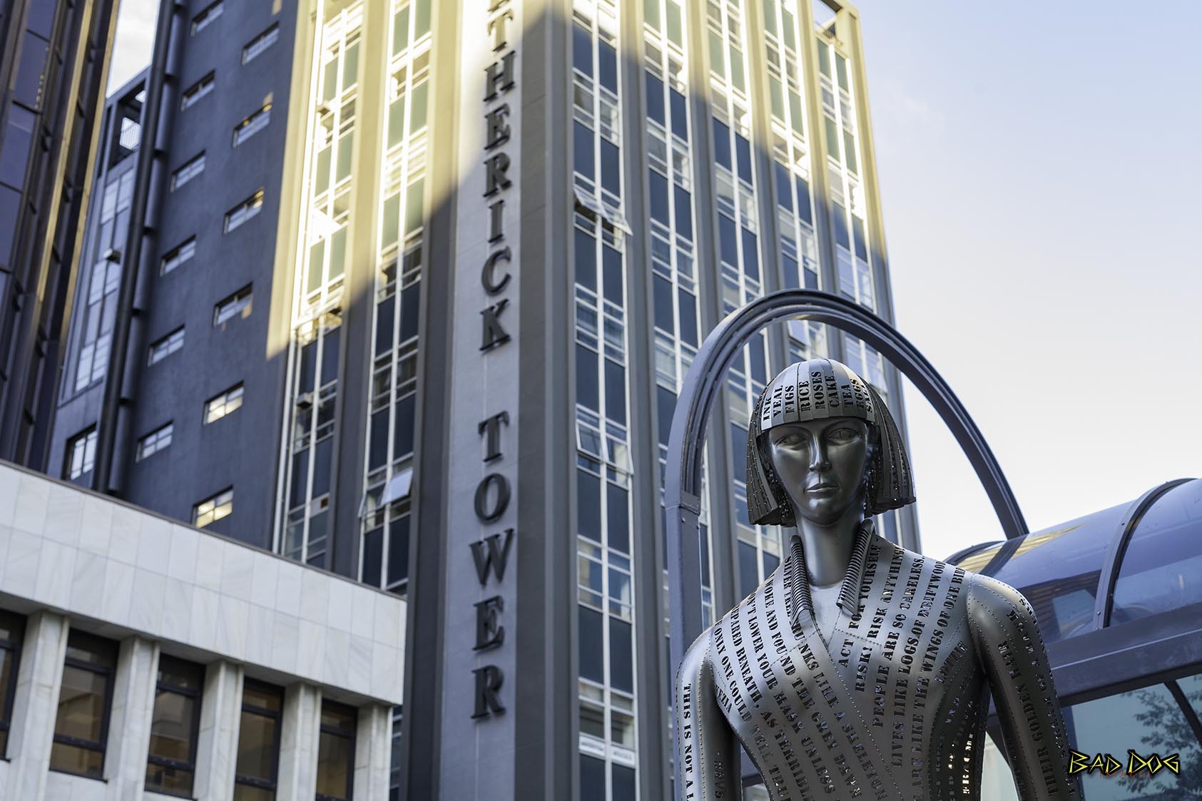
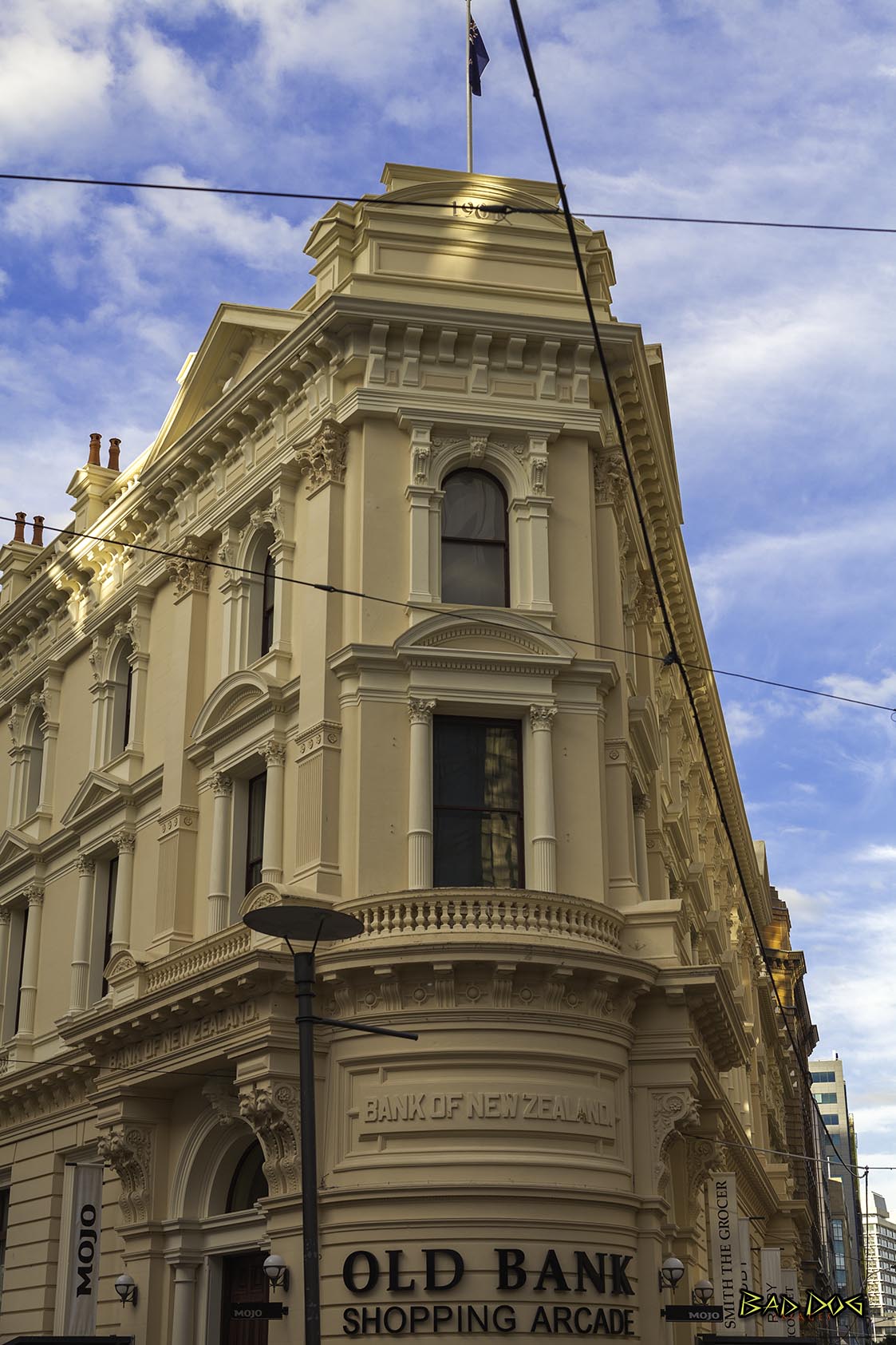
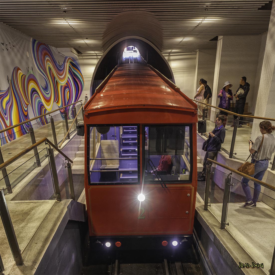
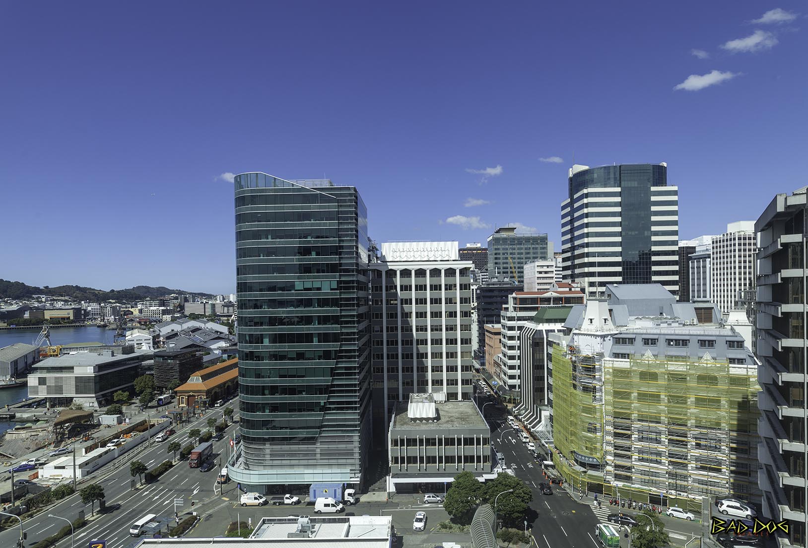
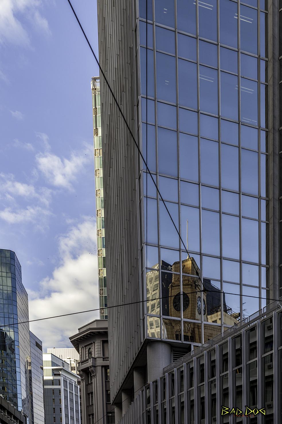
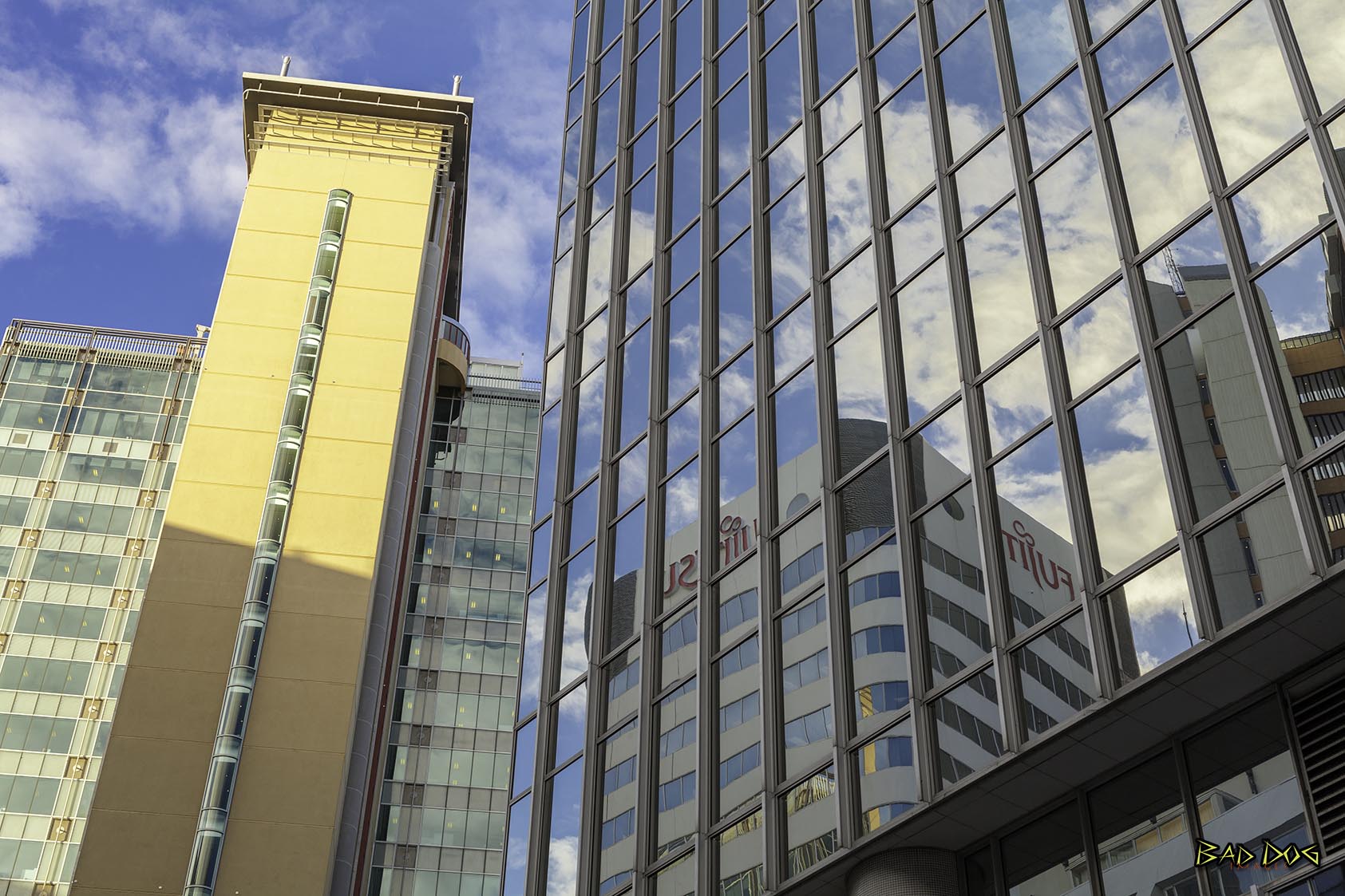
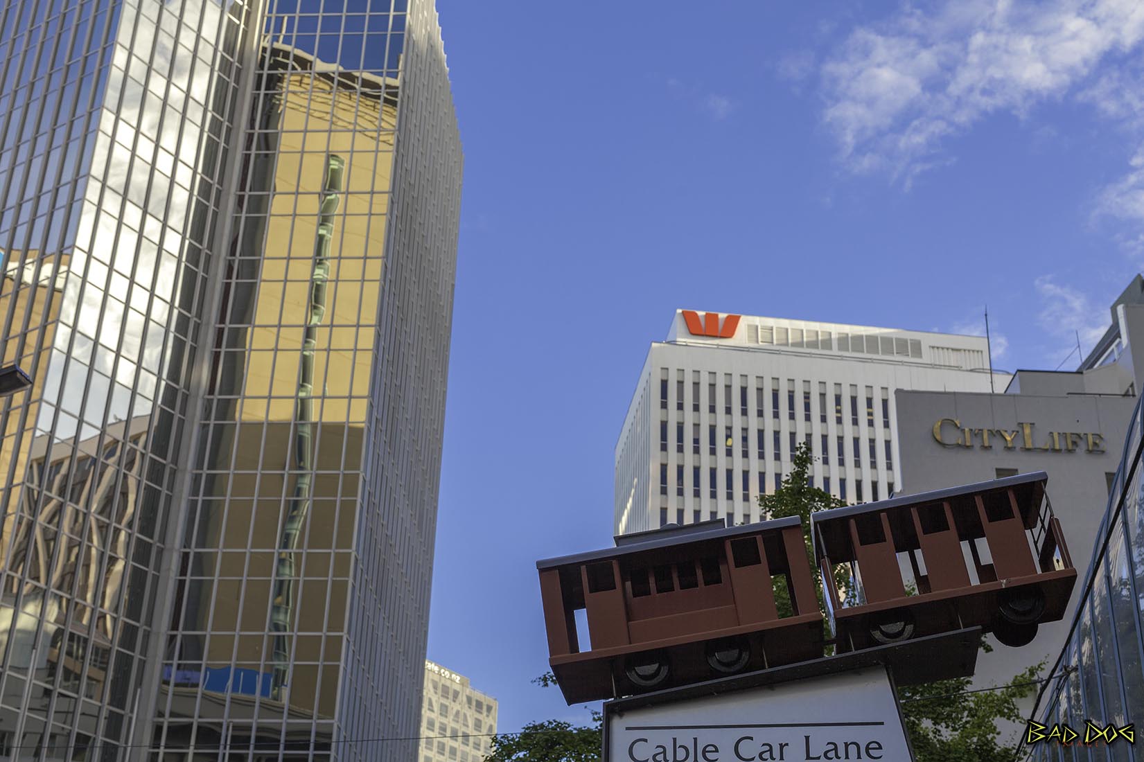
Wellington, the capital of New Zealand. A compact city, it encompasses a waterfront promenade, sandy beaches, a working harbour and colourful timber houses on surrounding hills. From Lambton Quay, the iconic red Wellington Cable Car heads to the Wellington Botanic Gardens.
In Māori, Wellington has three names. Te Whanga-nui-a-Tara refers to Wellington Harbour and means "the great harbour of Tara"; Pōneke is a transliteration of Port Nick, short for Port Nicholson (the city's central marae, the community supporting it and its kapa haka have the pseudo-tribal name of Ngāti Pōneke); Te Upoko-o-te-Ika-a-Māui, meaning 'The Head of the Fish of Māui' (often shortened to Te Upoko-o-te-Ika), a traditional name for the southernmost part of the North Island, deriving from the legend of the fishing up of the island by the demi-god Māui.
Wellington is at the south-western tip of the North Island on Cook Strait, separating the North and South Islands. On a clear day the snowcapped Kaikoura Ranges are visible to the south across the strait. To the north stretch the golden beaches of the Kapiti Coast. On the east the Rimutaka Range divides Wellington from the broad plains of the Wairarapa, a wine region of national notability. With a latitude of 41° 17' South, Wellington is the southernmost capital city in the world. It is also the most remote capital city, the farthest away from any other capital.
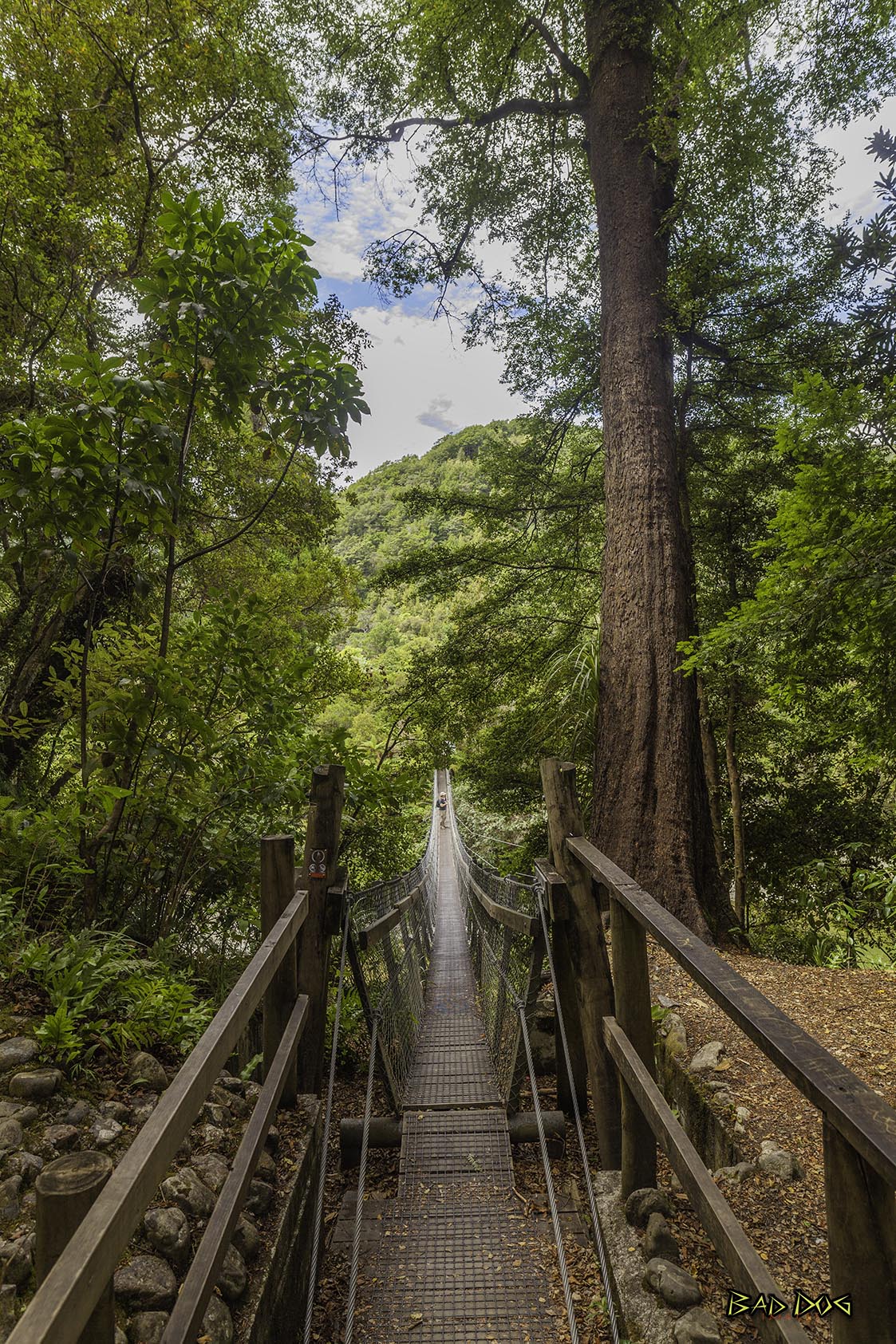
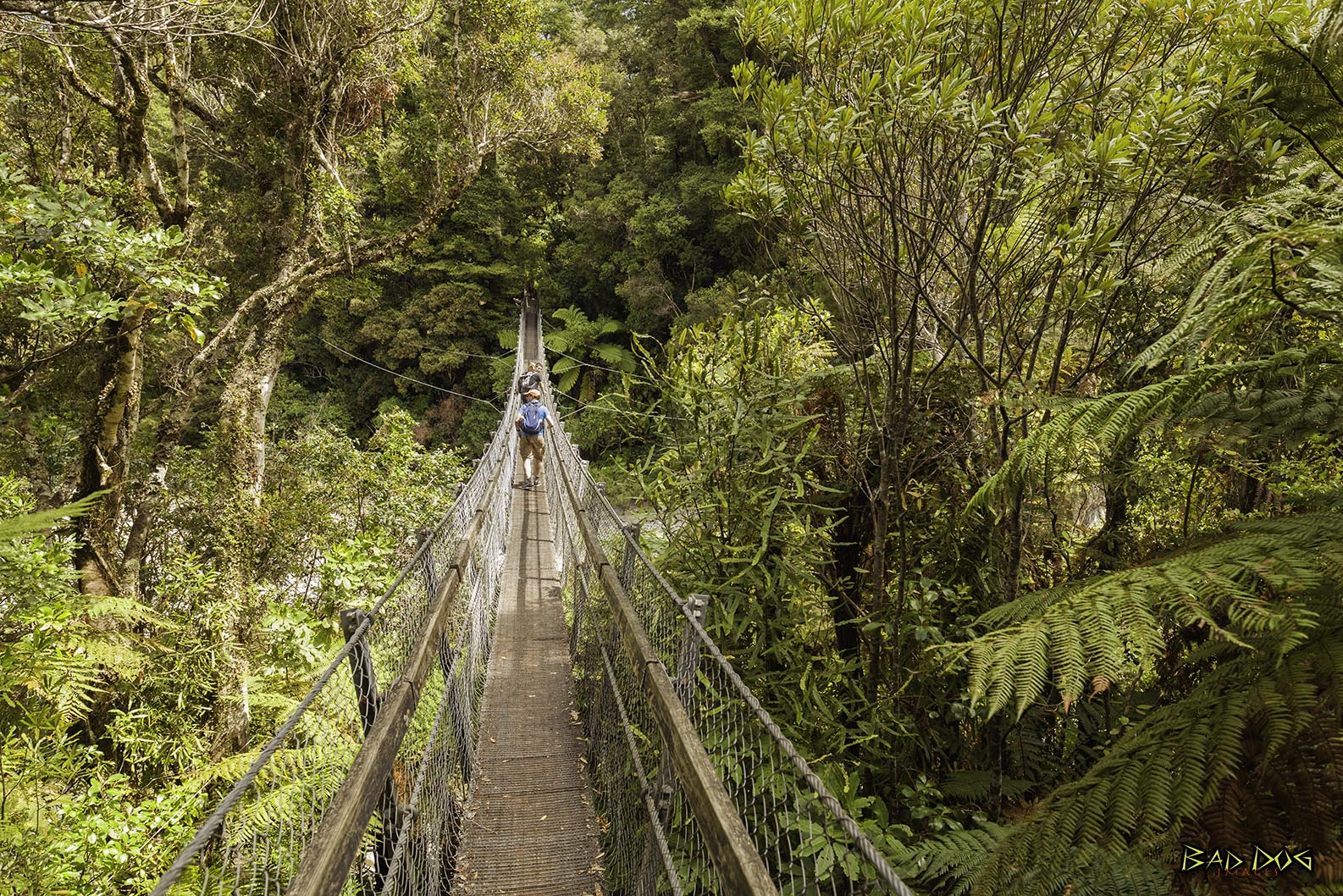
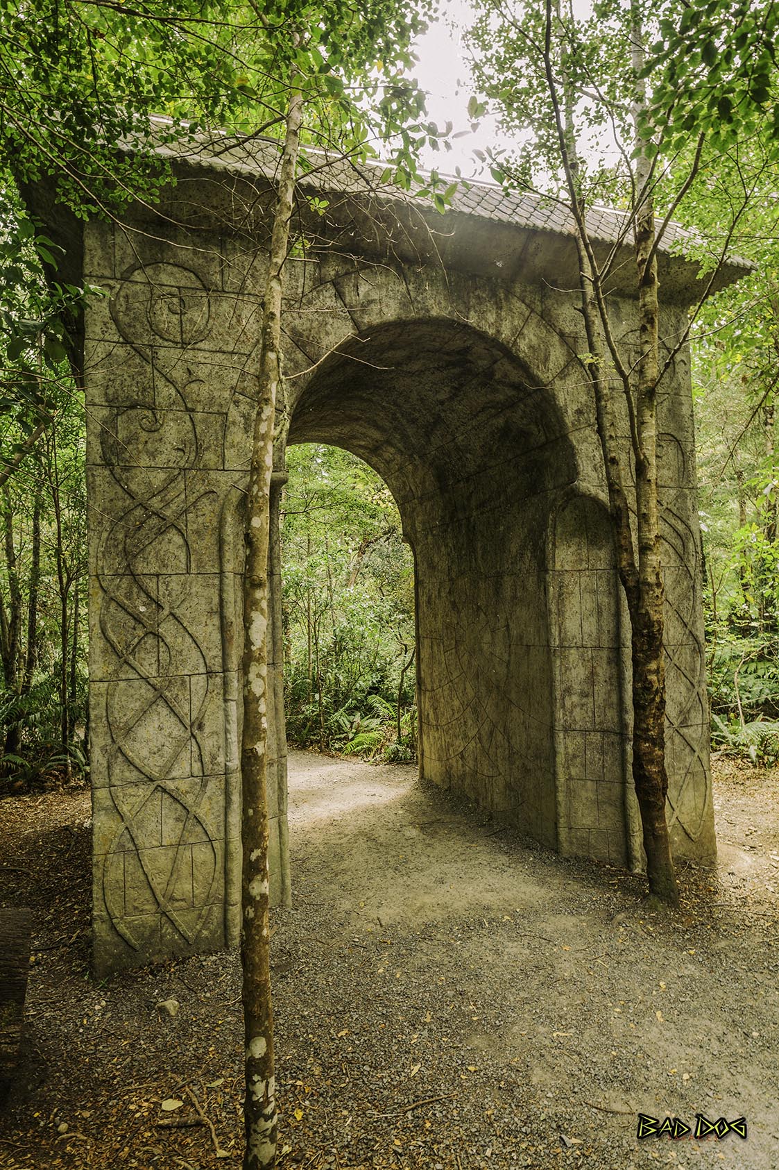
Only 45 minutes north of Wellington City, the spectacular Kaitoke Regional Park covers 2860 hectares in the foothills of the Tararua Ranges. Steep, bush-clad hills, the Hutt River gorge and centuries-old rata, rimu and beech forest feature in this magnificent natural setting. At the popular Pakuratahi Forks, ancient rata and rimu tower over a canopy of kamahi, hinau and miro. The park is also home to rare birds - kaka, yellow-crowned parakeet and a significant number of New Zealand falcon. The spot now known as Rivendell at Kaitoke Regional Park was a significant location site for the filming of The Lord of the Rings trilogy. Also known as Imladris, Rivendell was built as a refuge and rallying place for elves. While it’s not quite the mystical setting that Rivendell was in the films, the native bush and sheltered area are just as captivating. No trace of the film set is left, apart from a archway for die hard fans.
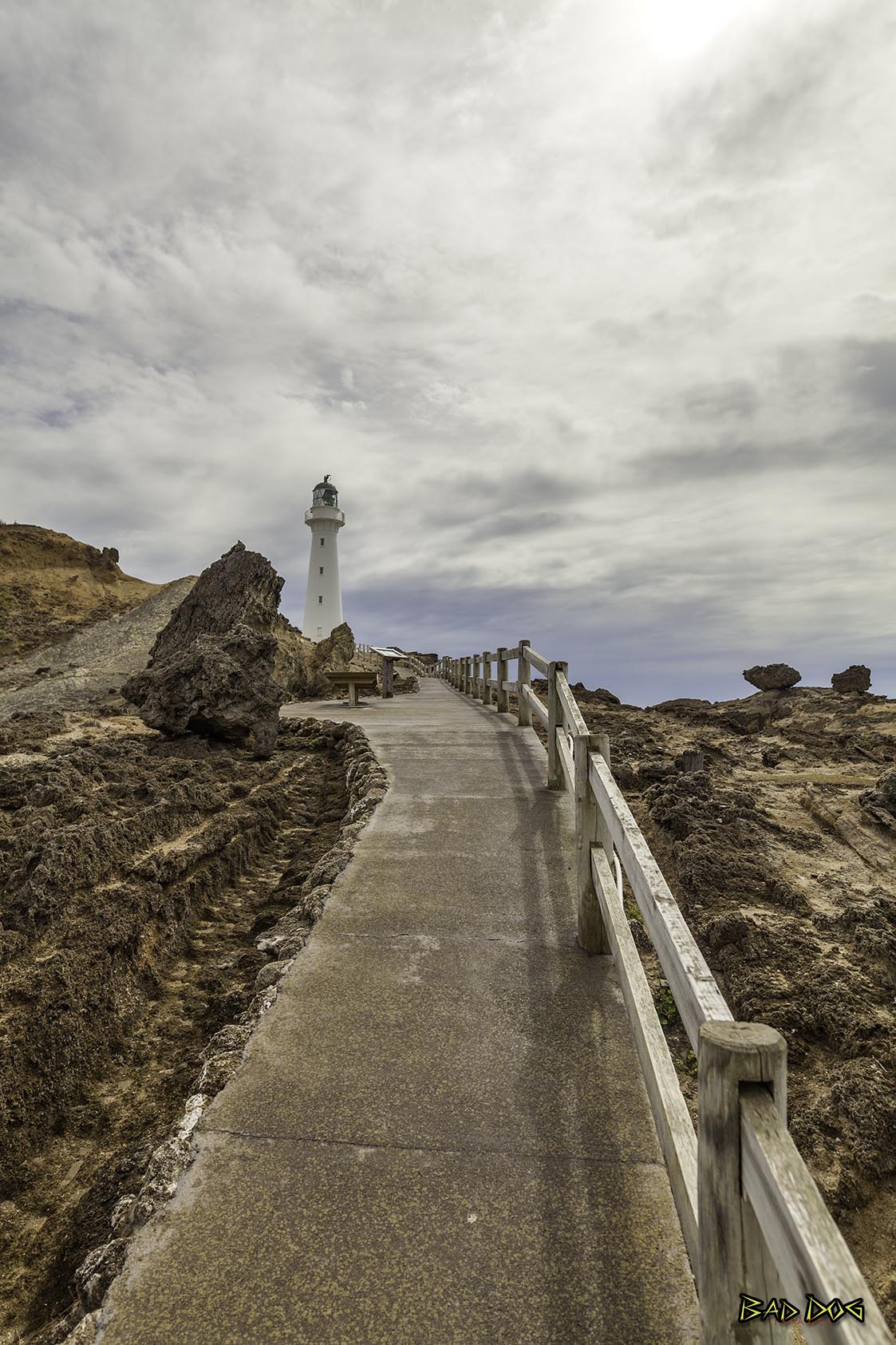
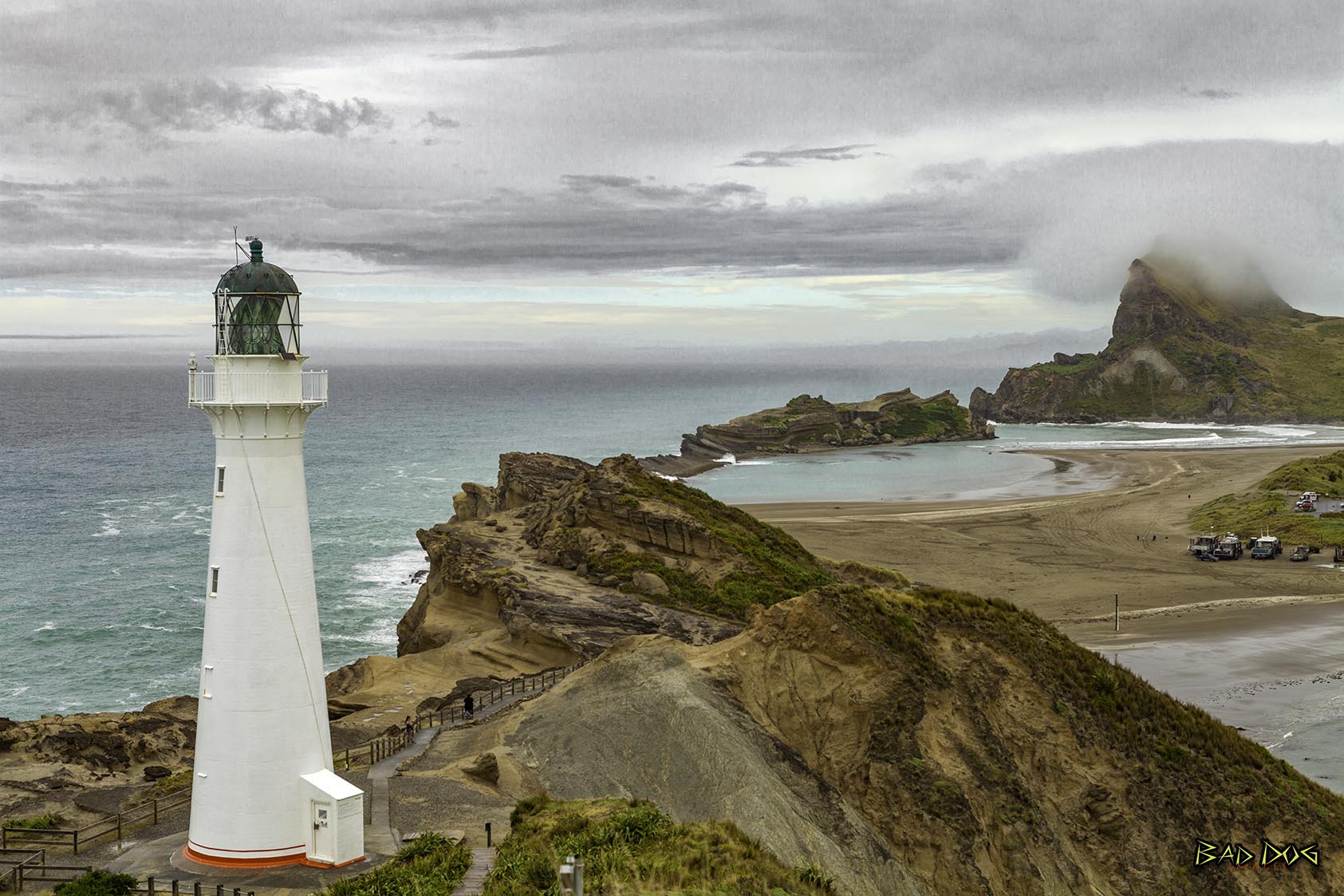
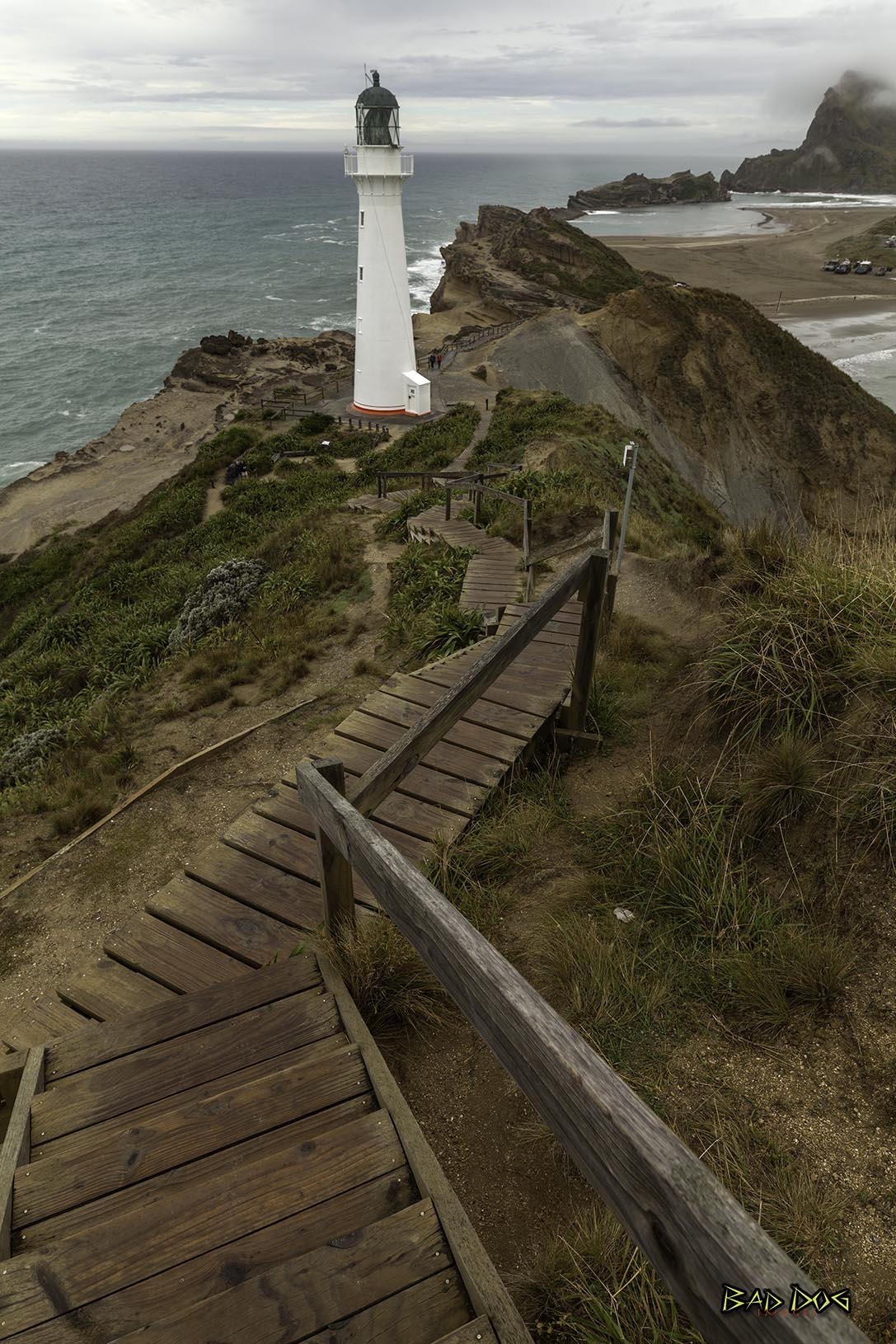
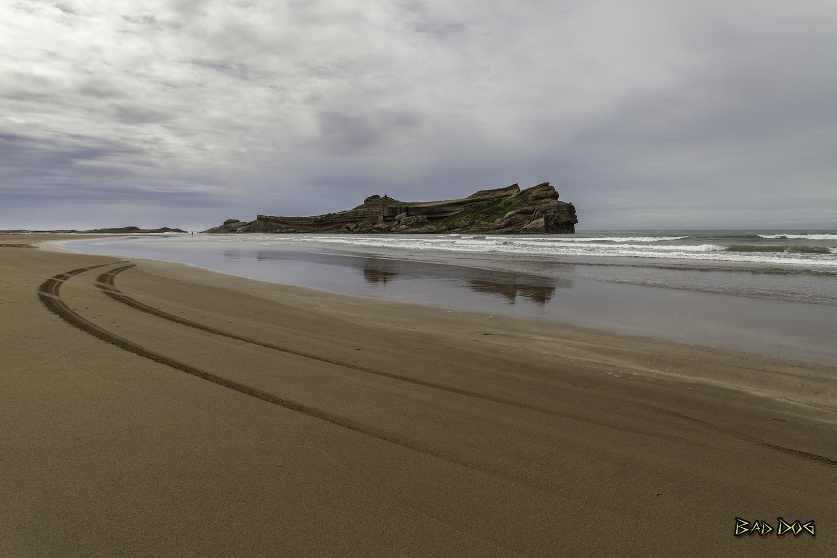
Castlepoint is a small beachside town on the Wairarapa coast of the Wellington Region of New Zealand. It is home to a lighthouse which stands near the top of the northern end of a reef. The reef is about one kilometer long. At the southern end of the reef, there is an island known locally as "seagull island", due to its large population of seagulls.
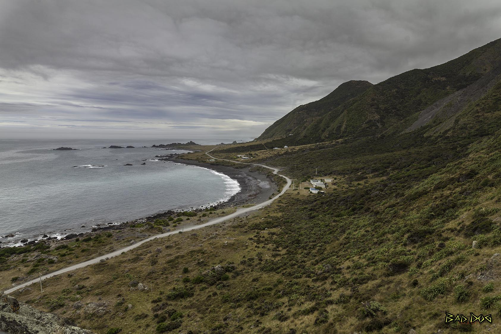
Cape Palliser is a promontory on the southern coast of New Zealand's North Island and is the southernmost point of North Island - it is in fact considerably further south than Nelson or Blenheim in the South Island.
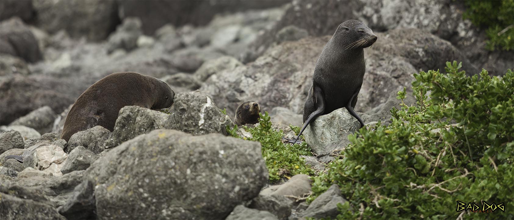
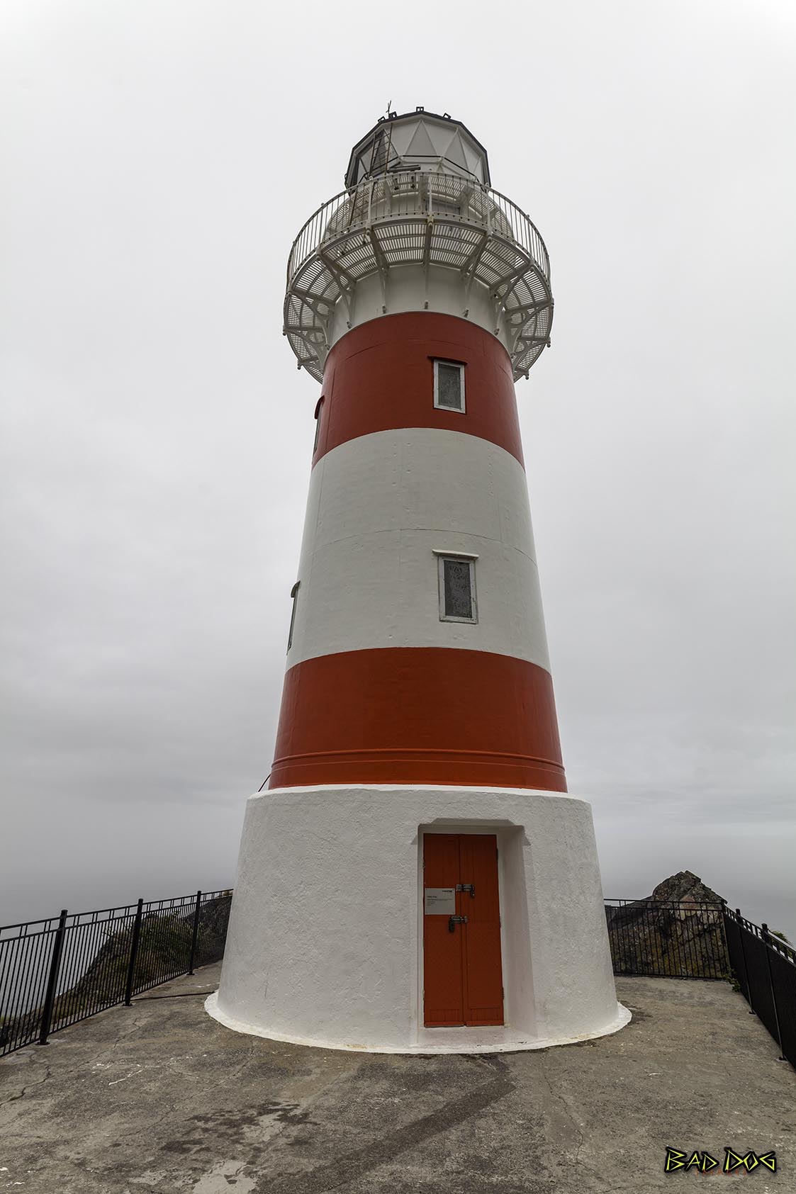
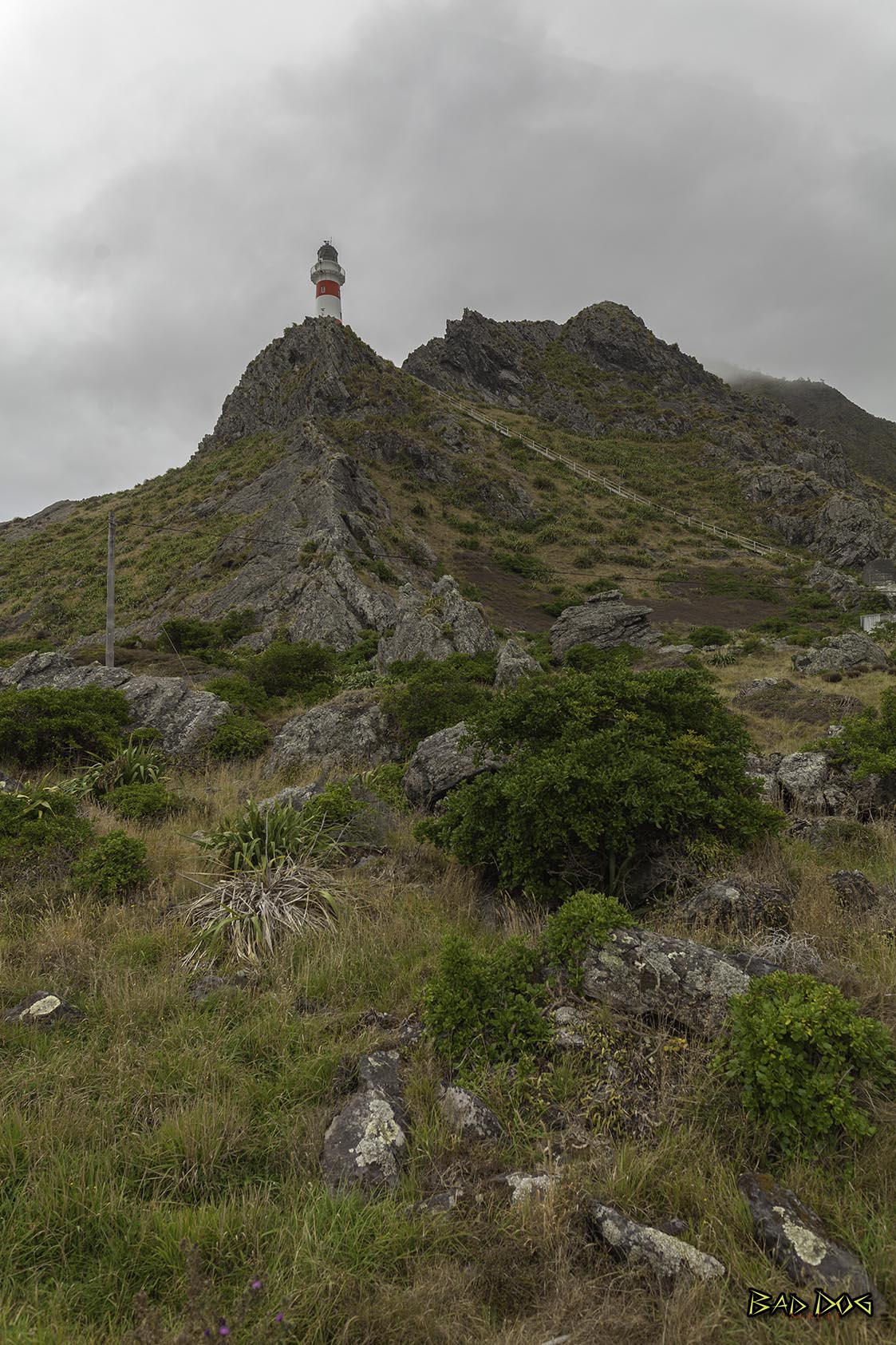
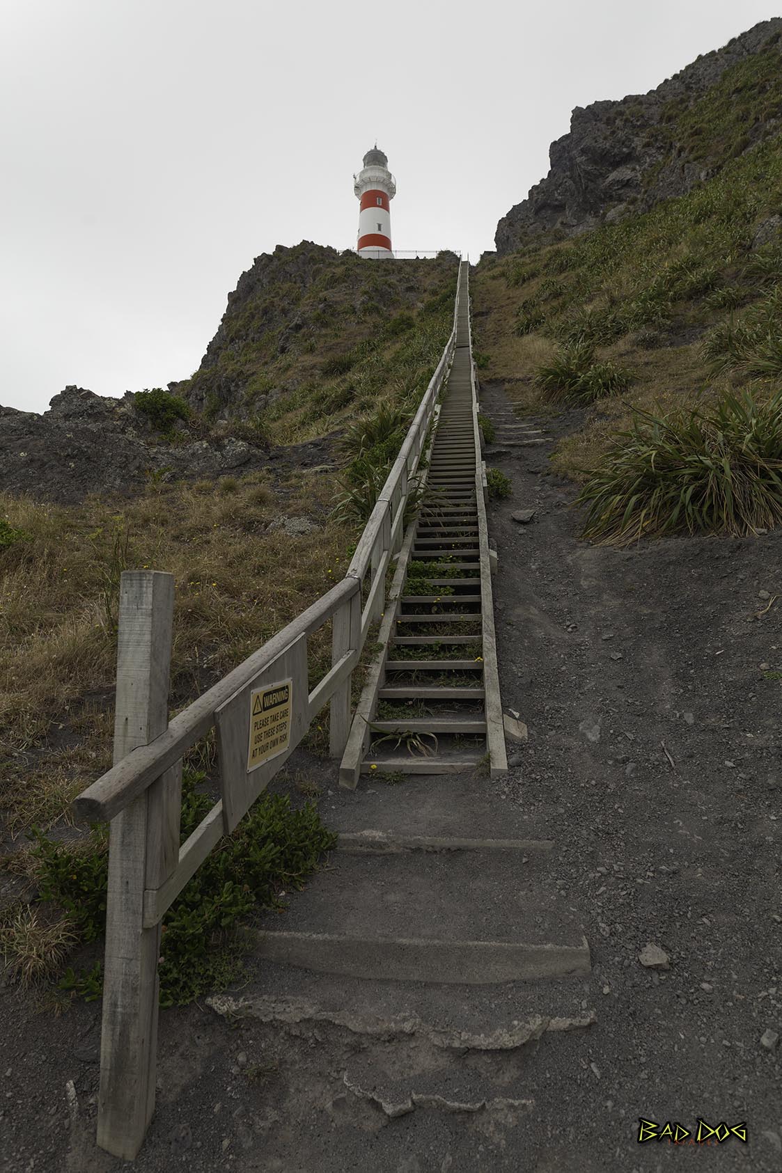
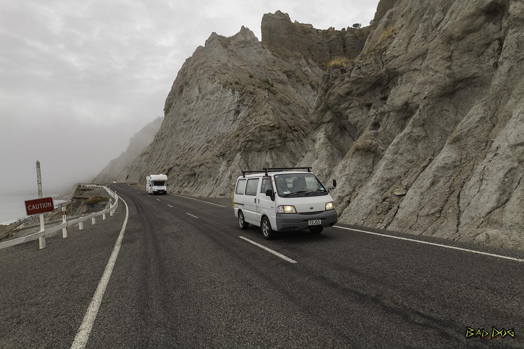
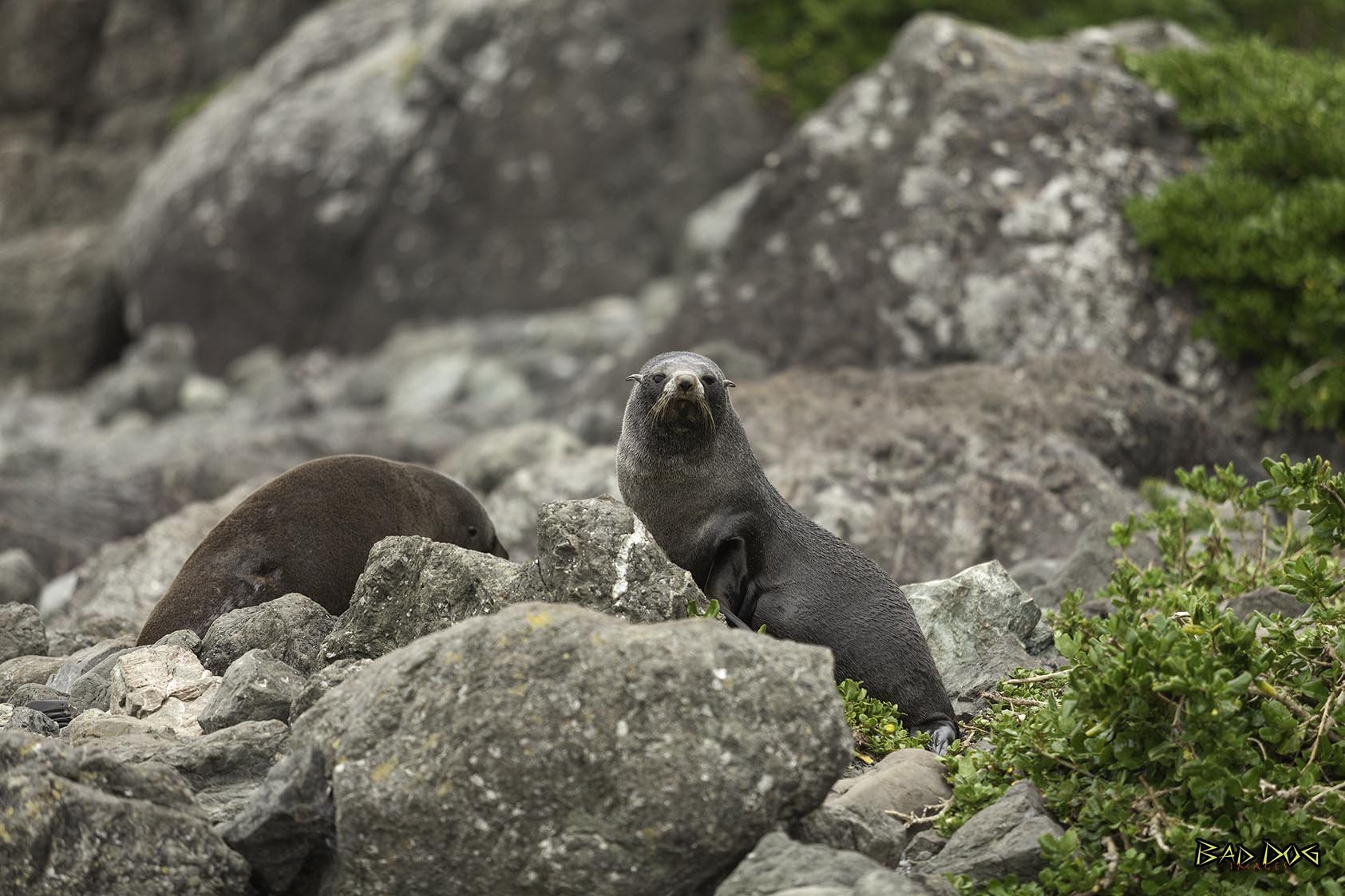
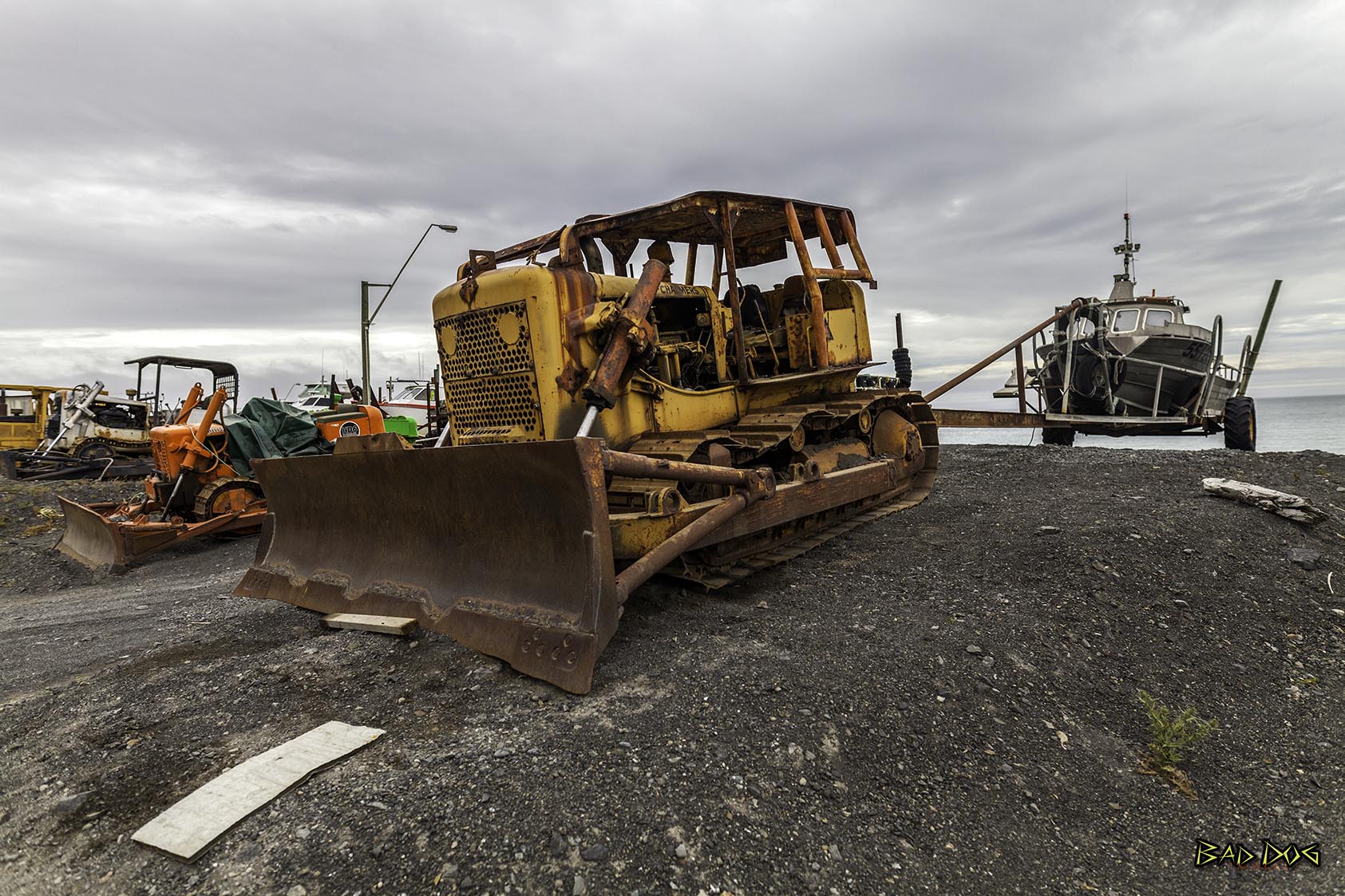
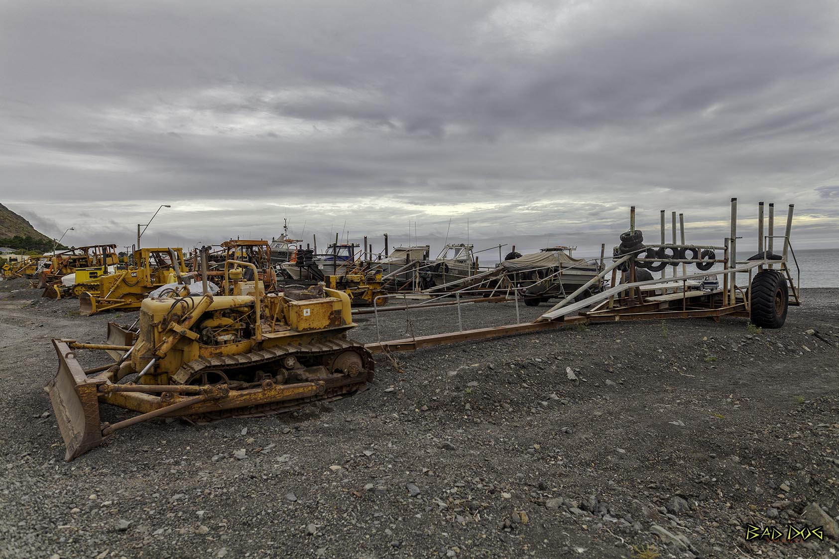
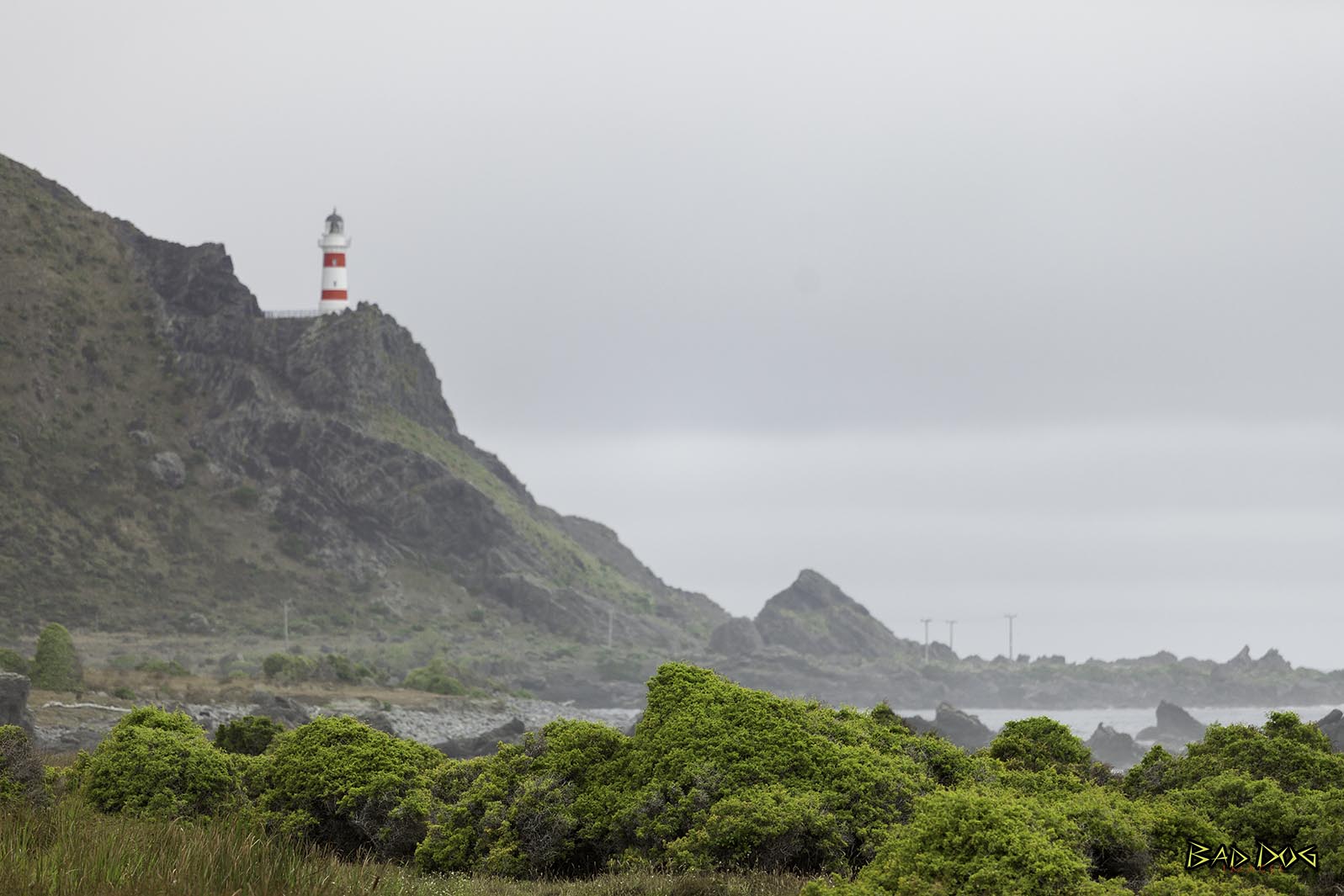
It is located at the eastern end of Palliser Bay, 50 kilometres southeast of Wellington - 100 kilometres by road. Kupe's Sail is another feature of Cape Palliser - a triangular upthrust of sedimentary rock shaped like a sail. Legend has it that Kupe sailed by Cape Palliser more than 1000 years ago. A small settlement - Ngāwī - is situated near Cape Palliser, where the main income comes from crayfish (southern rock lobster) fishing. Some 20 to 30 fishing boats are pushed into the sea on their trailers by bulldozers. The Cape Palliser Lighthouse is located here; an unmanned lighthouse blinking once every 20 seconds. It is also home to a permanent fur seal colony.
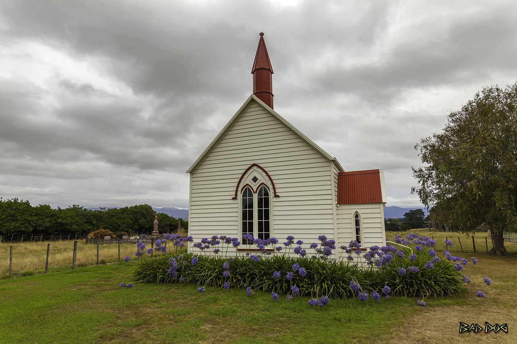
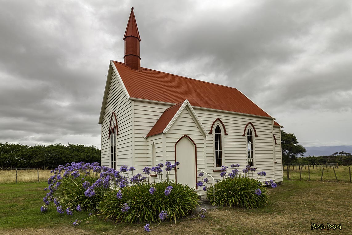
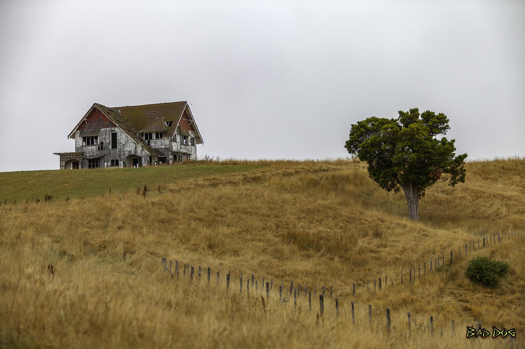
Greytown (Māori: Te Hupenui) Is a rural town in the heart of the Wairarapa region of New Zealand, in the lower North Island. It is 80 km north-east of Wellington, and 25 kilometres southwest of Masterton. Greytown is a good stopping point for lunch, after either visiting Castlepoint, then heading to Cape Palliser if on a day trip. While travelling to Cape Palliser, one will find Burnside Church, located near the village of Pirinoa.
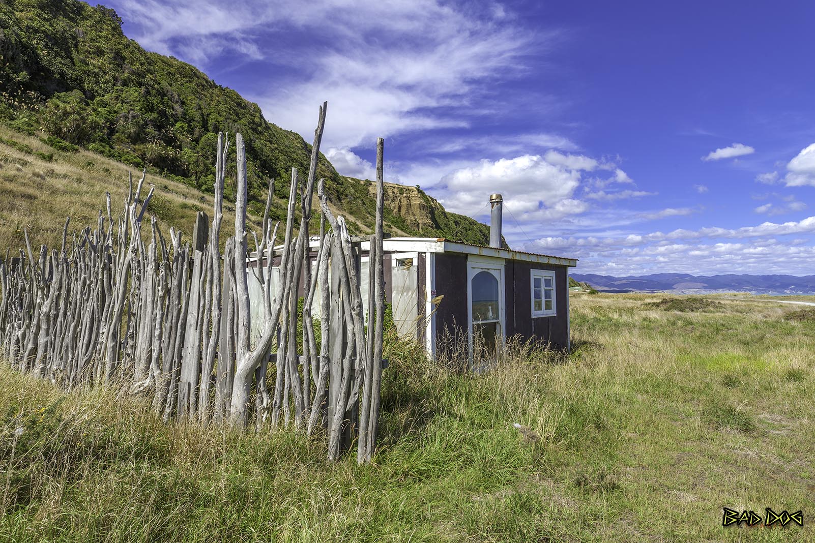
Featherston is a town in the South Wairarapa District, in the Wellington Region of New Zealand's North Island. Just before entering town from Wellington, there is a turn off to a beach. 40km down a road that is worth a visit.
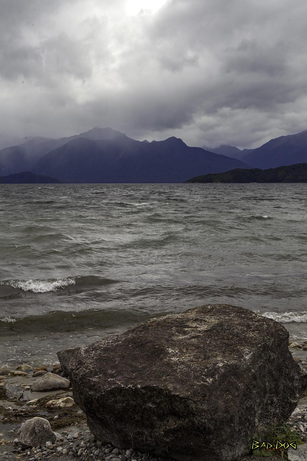
Te Anau is a town on the South Island of New Zealand. It’s known as a gateway to Fiordland National Park and Milford Sound. The region is home to endangered, flightless takahē birds and abundant trout in Lake Te Anau. Te Anau Caves feature a limestone grotto of glowworms and an underground waterfall. To the southwest, the Kepler Track winds through beech forests, glacial valleys and mountains.
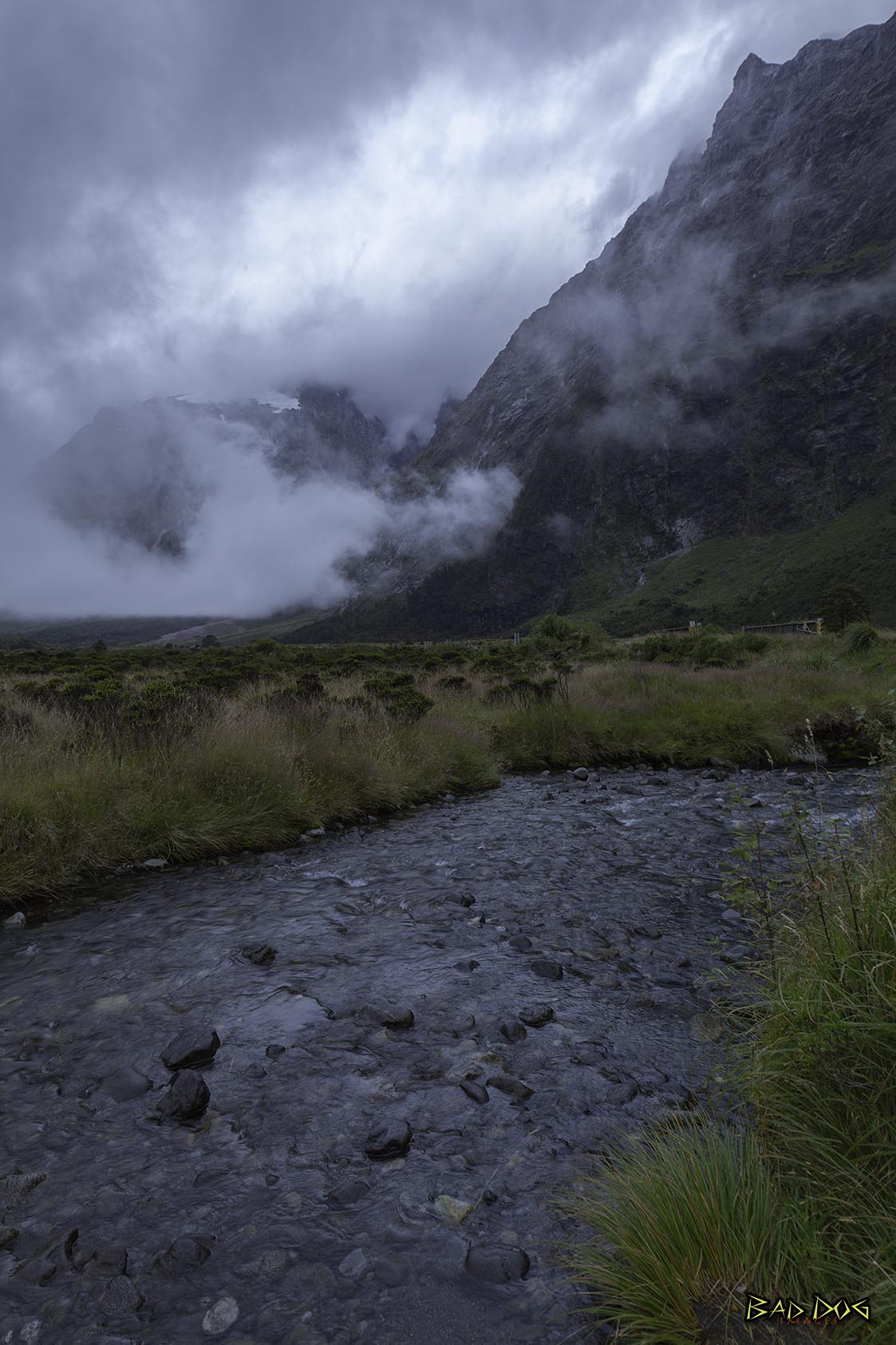
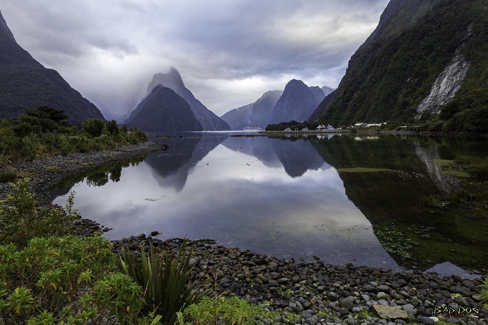
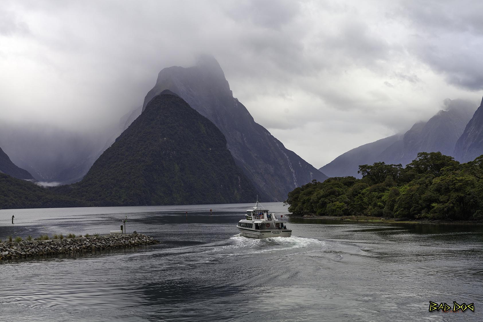
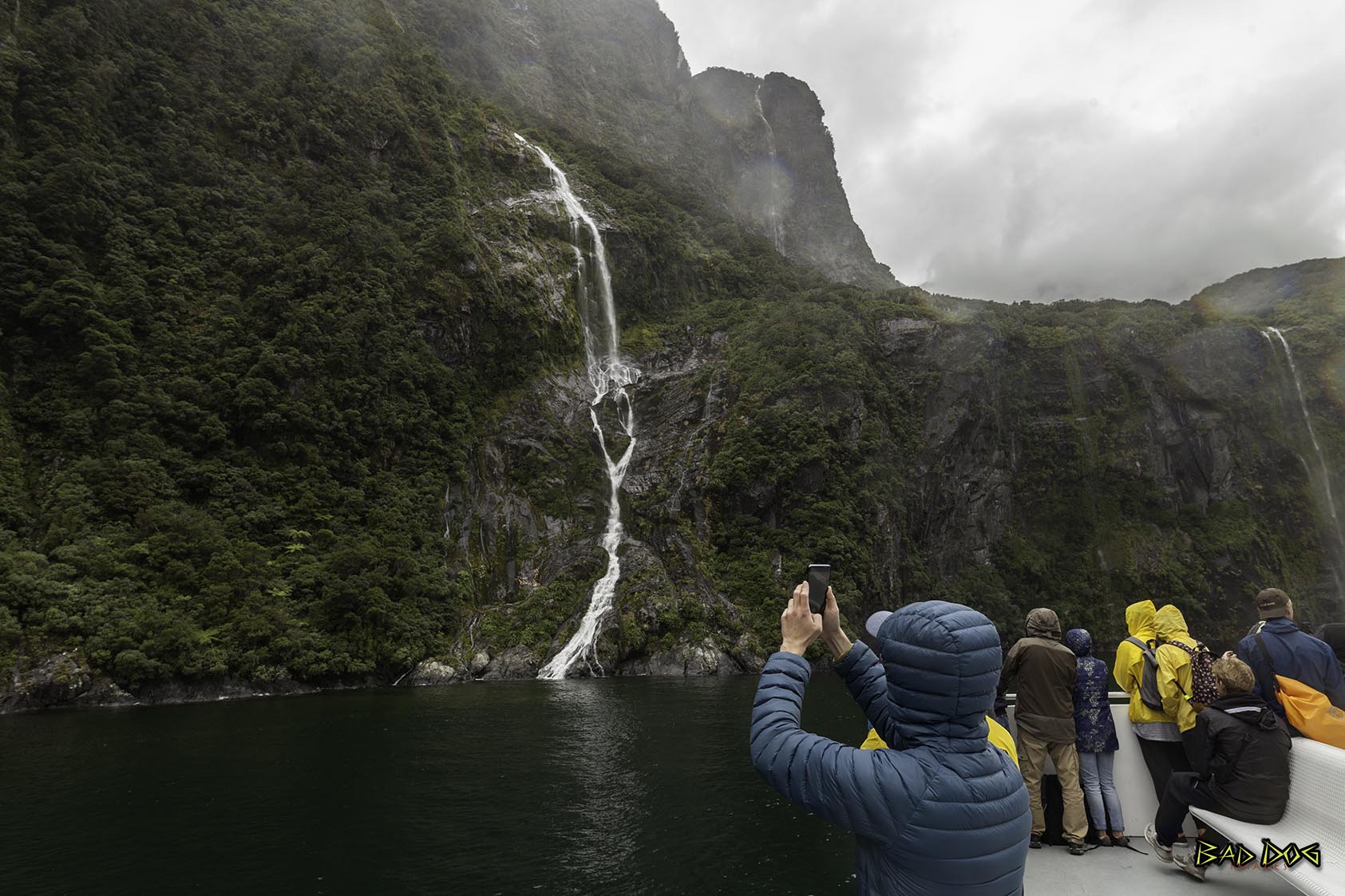
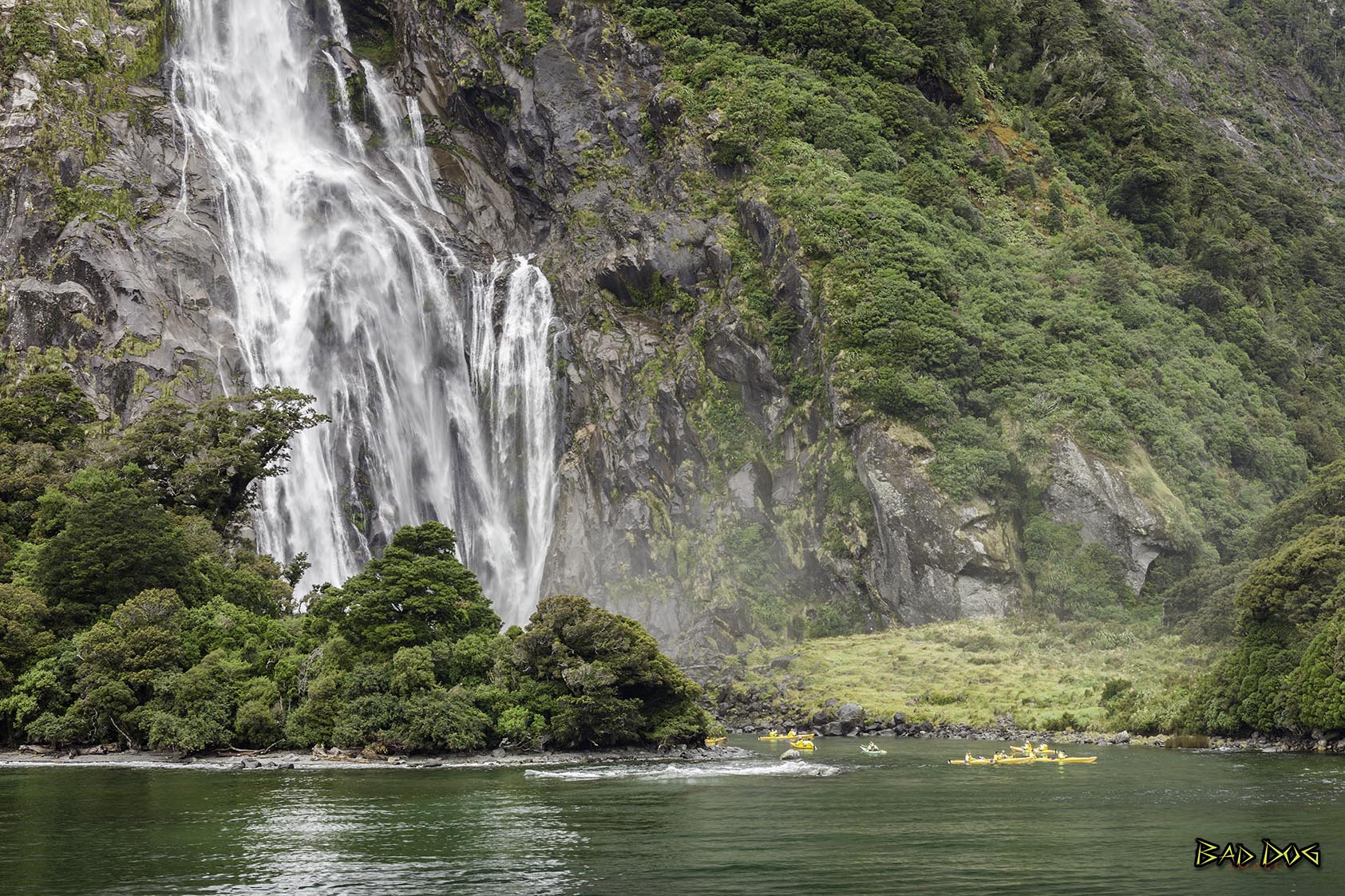
Milford Sound is a fiord in the southwest of New Zealand’s South Island. It’s known for towering Mitre Peak, plus rainforests and waterfalls like Stirling and Bowen falls, which plummet down its sheer sides. The fiord is home to fur seal colonies, penguins and dolphins. Milford Discovery Centre and Underwater Observatory offers views of rare black coral and other marine life. Boat tours are a popular way to explore.
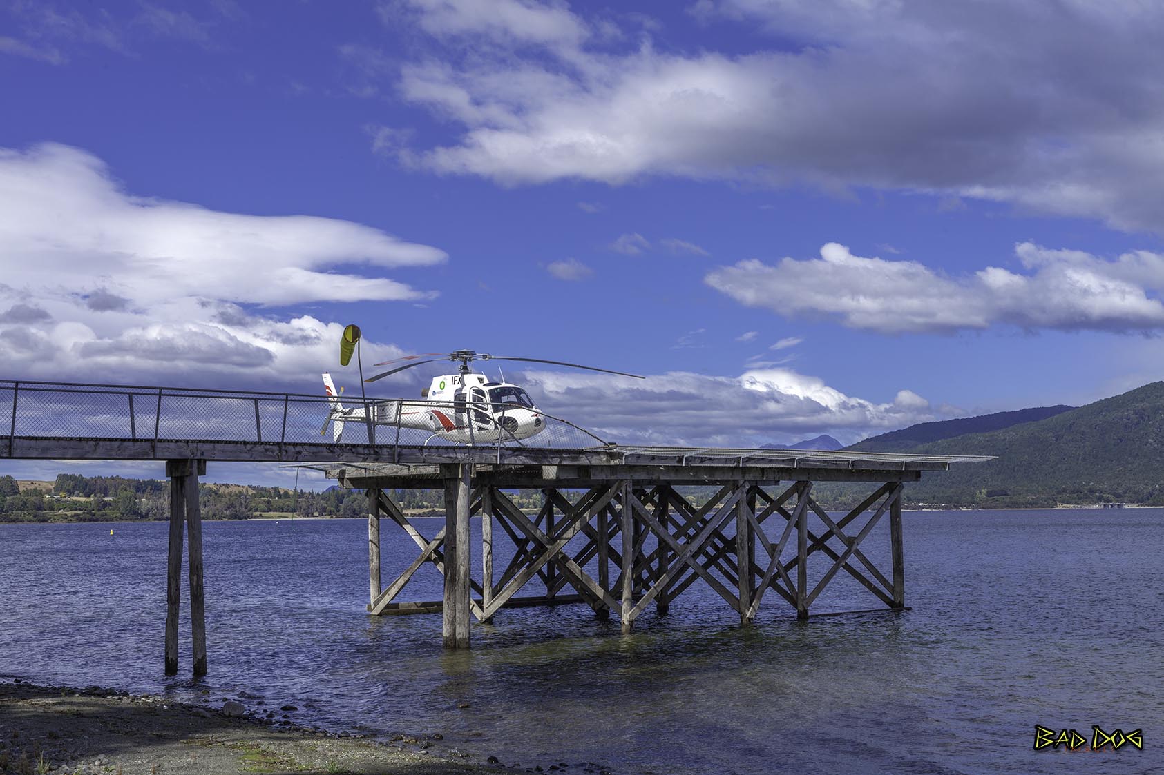
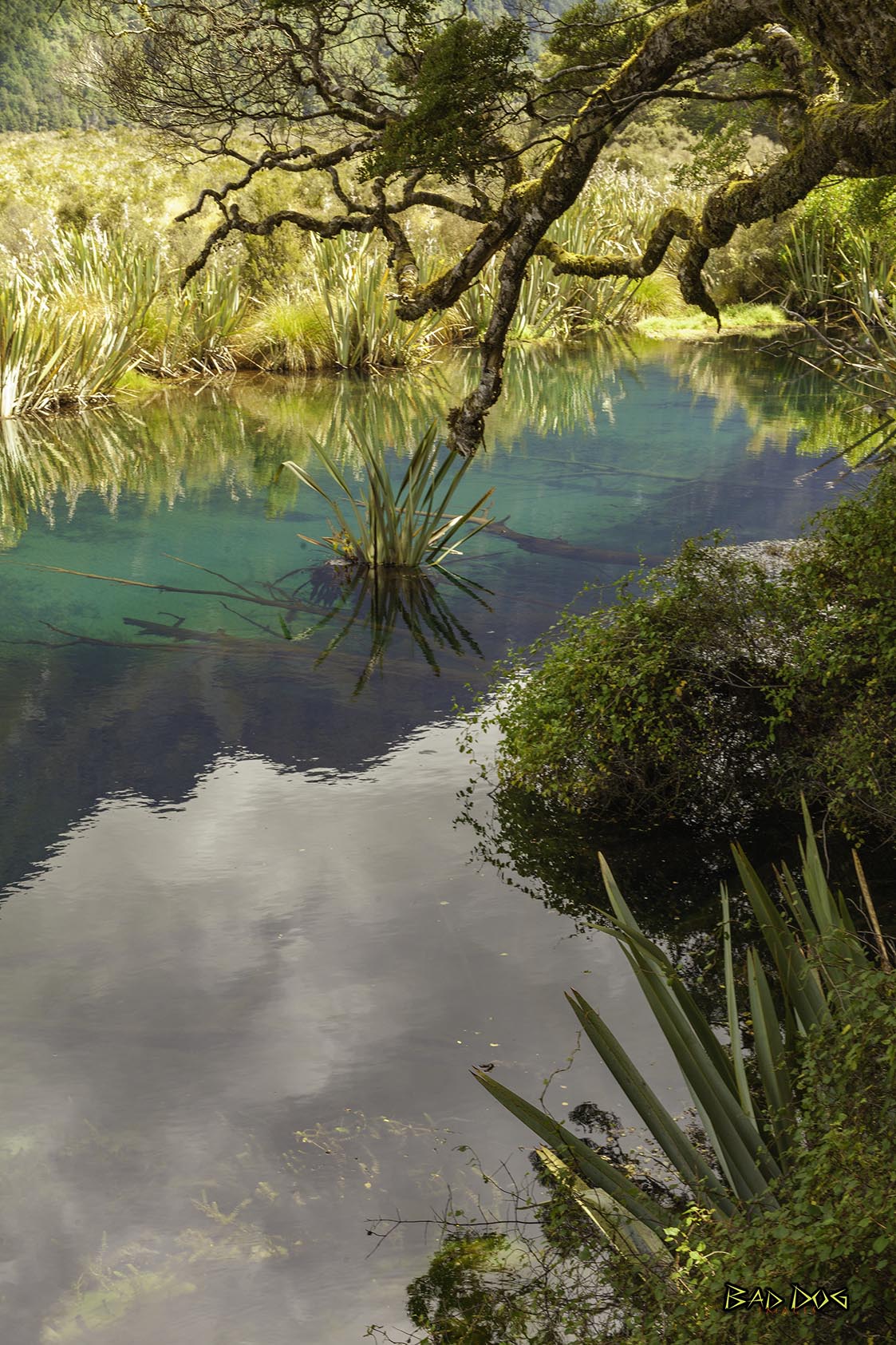
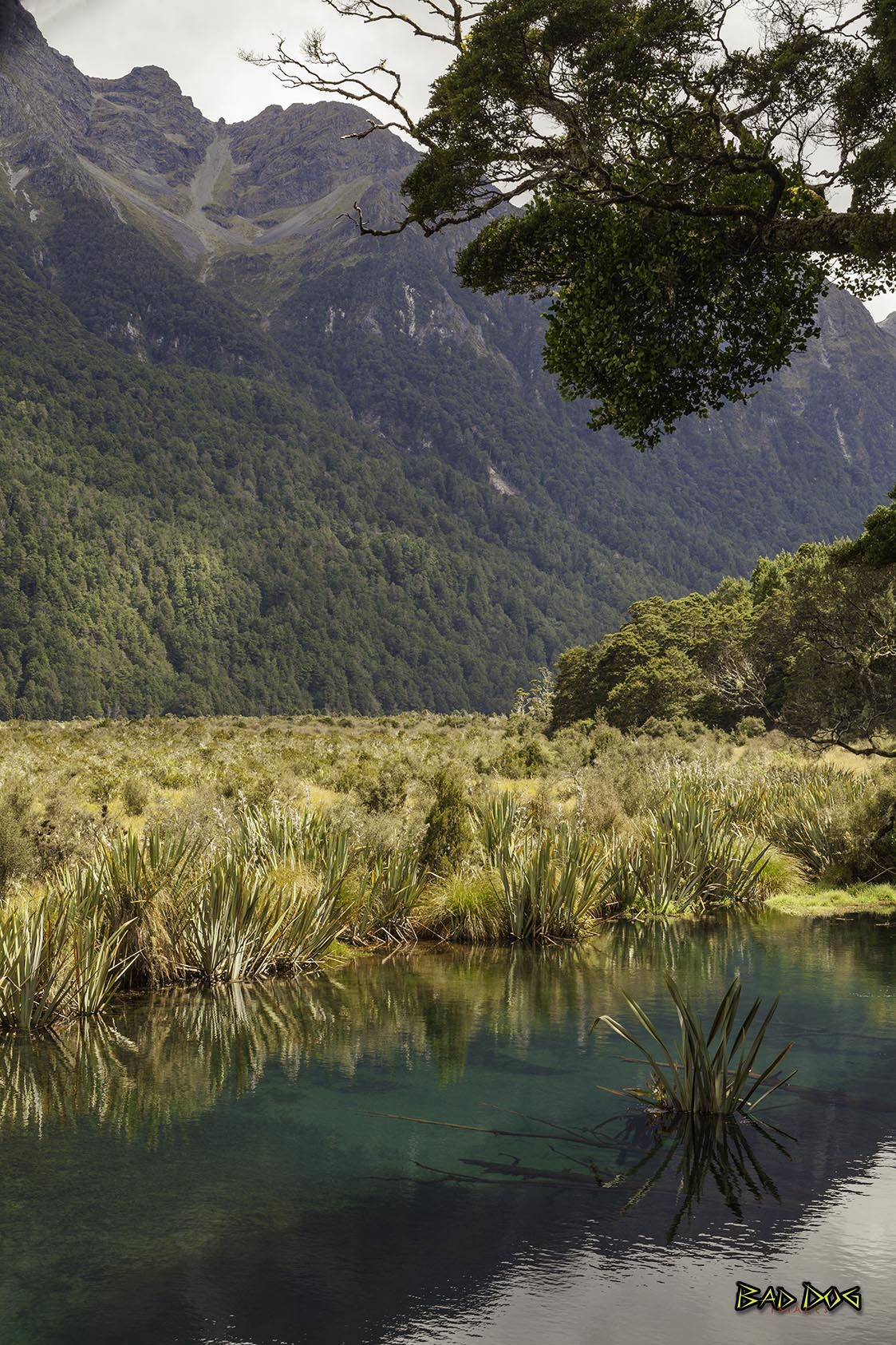
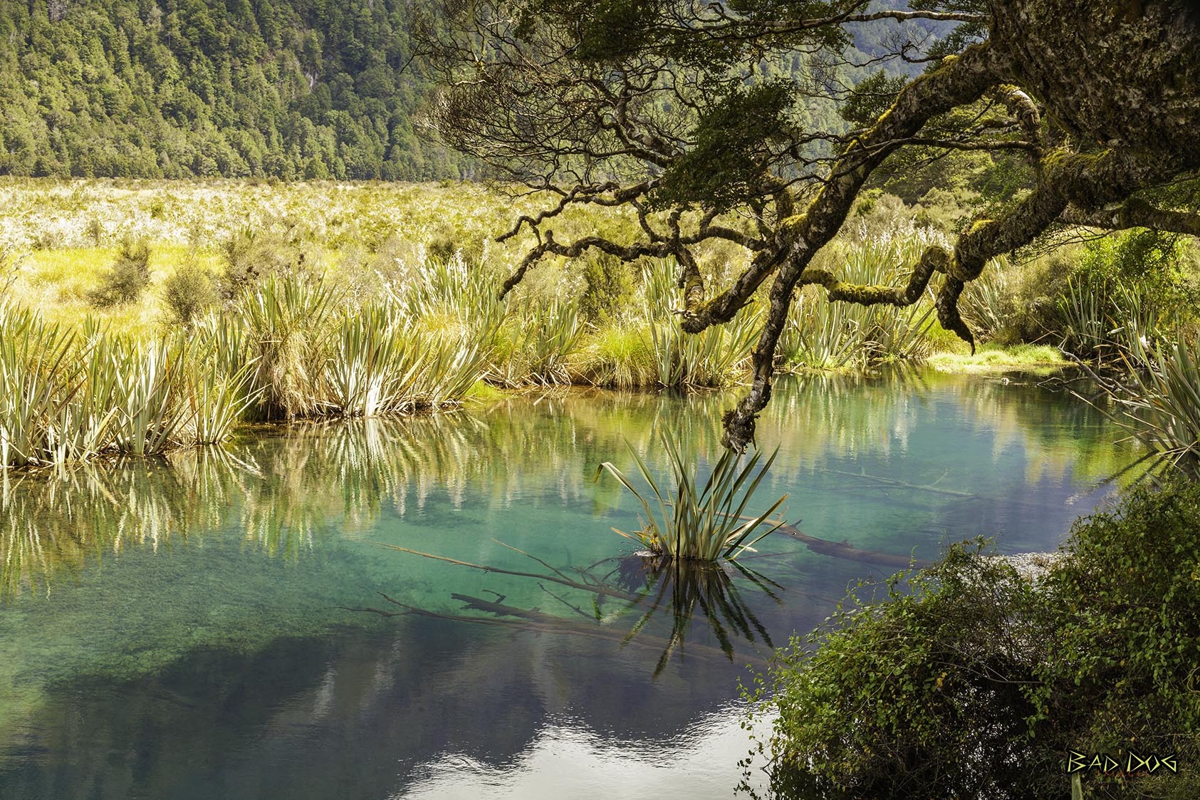
Mirror Lakes are a set of lakes lying north of Lake Te Anau and immediately to the west of the road from Te Anau to Milford Sound in New Zealand. At 56 kilometres (35 mi) north of Te Anau, the lakes are about halfway to Milford Sound.
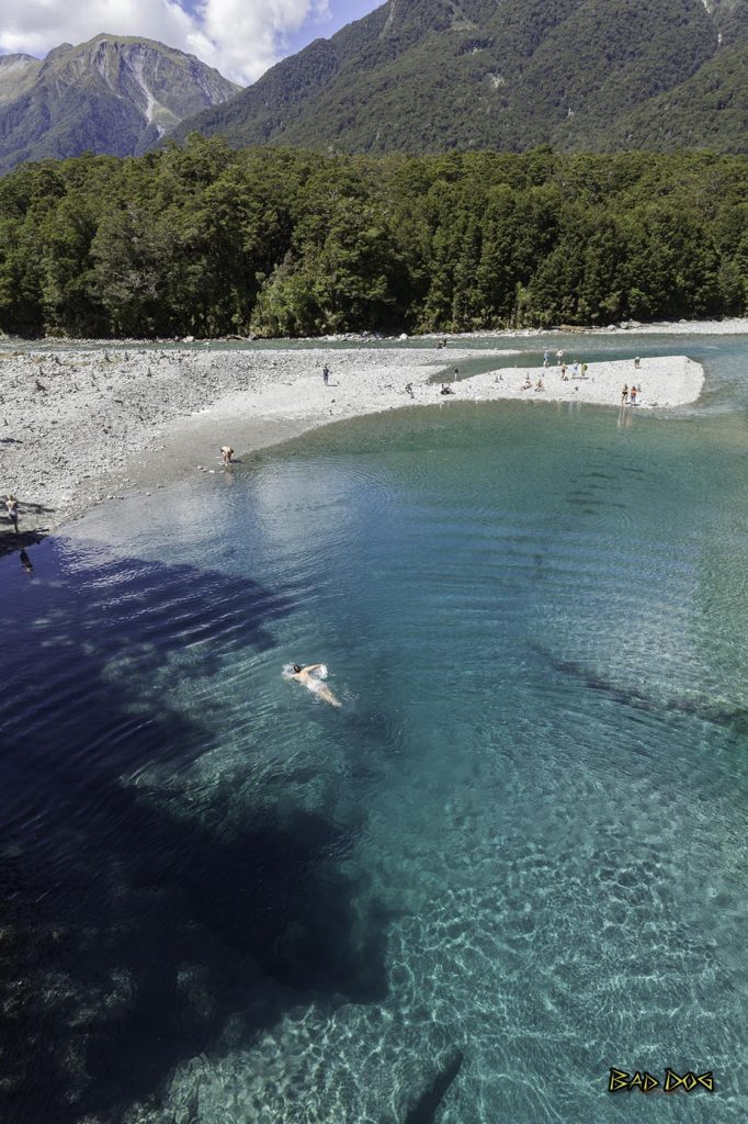
Blue Pools are deep river pools that are located where the Blue River joins the Makarora River on the South Island of New Zealand. The pools get their name from the unique blue color of the water. The blue color is a result of light refraction on the clear and icy cold water.
When the Blue River is in flood, a large amount of gravel is brought down the river from a couple of slips in the headwaters. And if the Makarora River – which runs alongside State Highway 6 – is also in flood, it will sometimes prevent the gravel from escaping out of the gorge. The pools are then filled with gravel and it takes another flood of the Blue River to wash the gravel downstream and allow the pools to return to their normal depth and blue color.
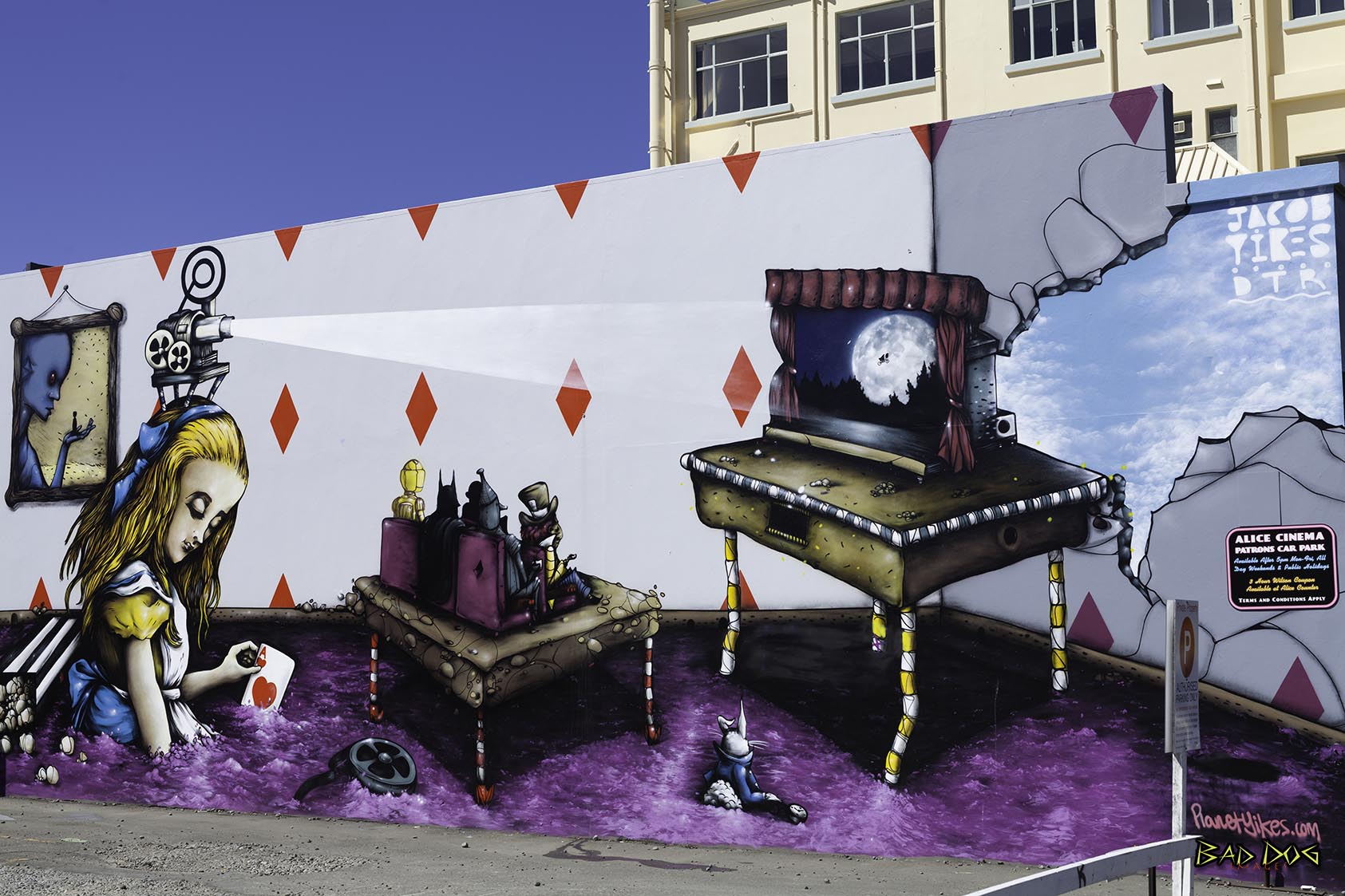
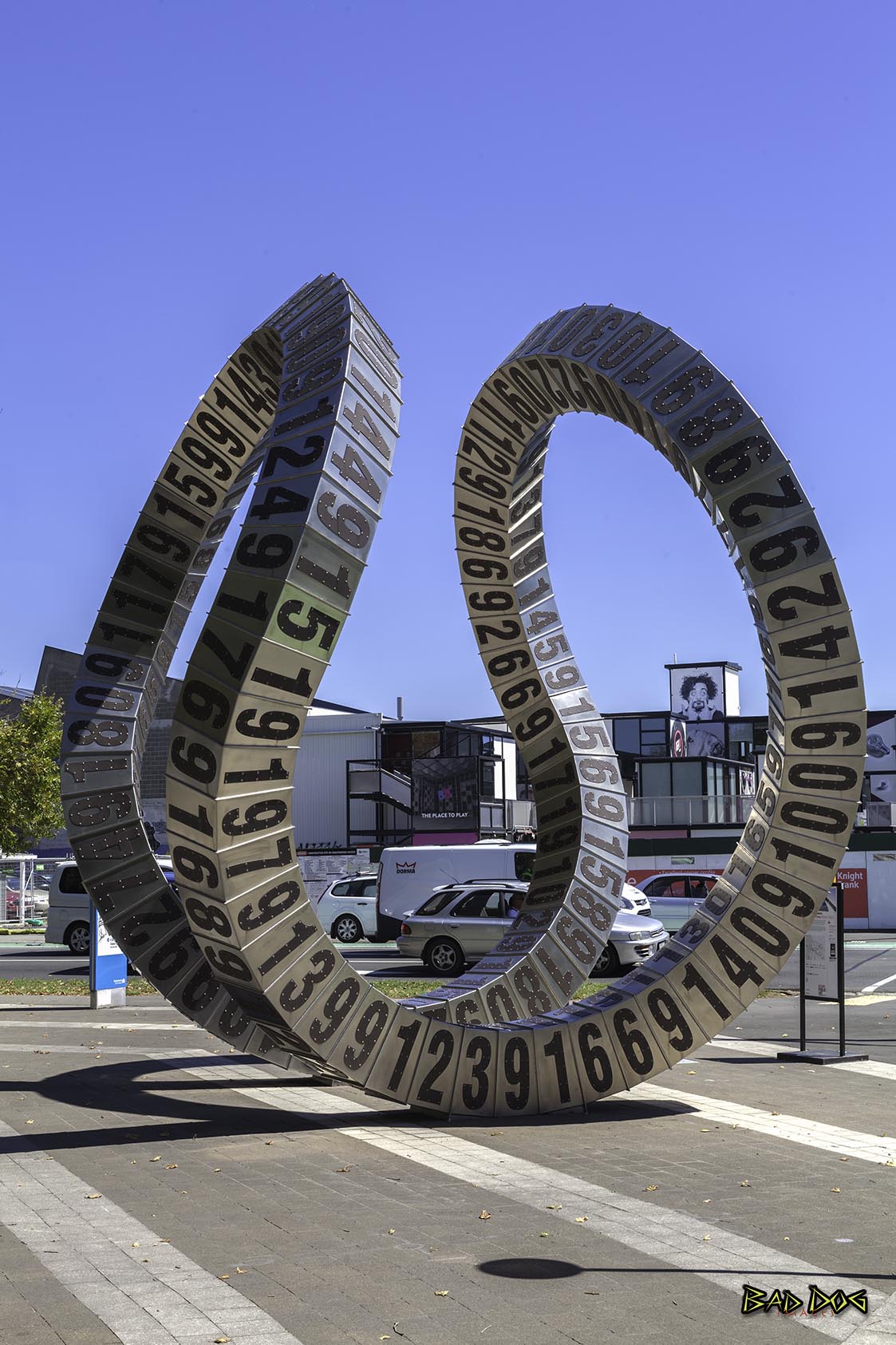
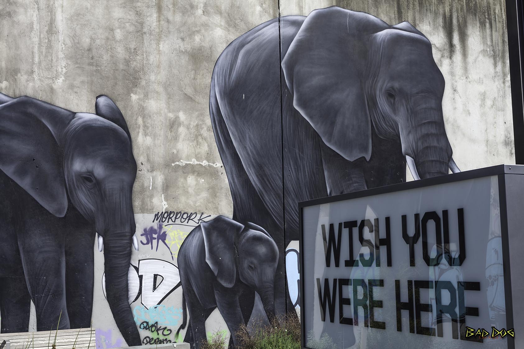
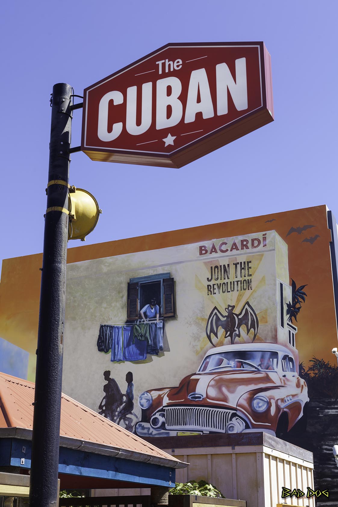
Christchurch is the largest city in the South Island of New Zealand and the seat of the Canterbury Region. The Christchurch urban area lies on the South Island's east coast, just north of Banks Peninsula. Christchurch is New Zealand's third most populous city behind Auckland and Wellington.
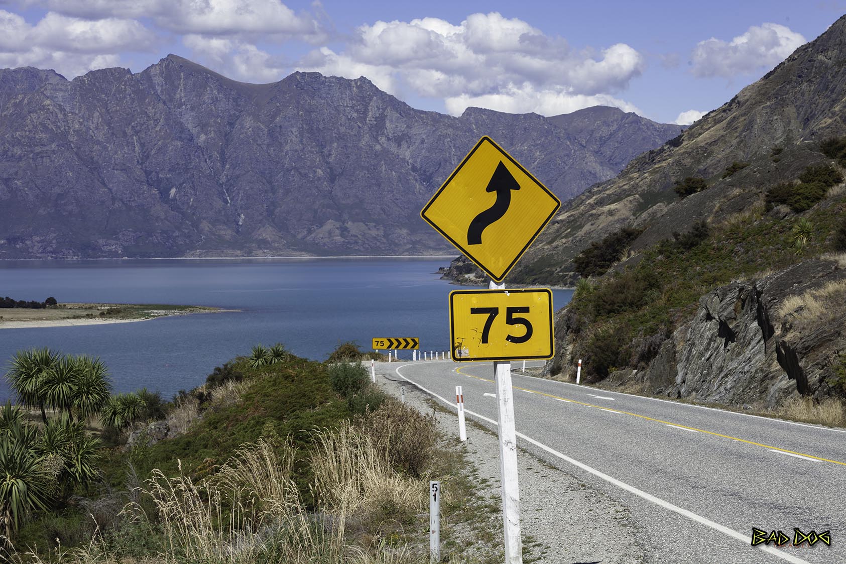
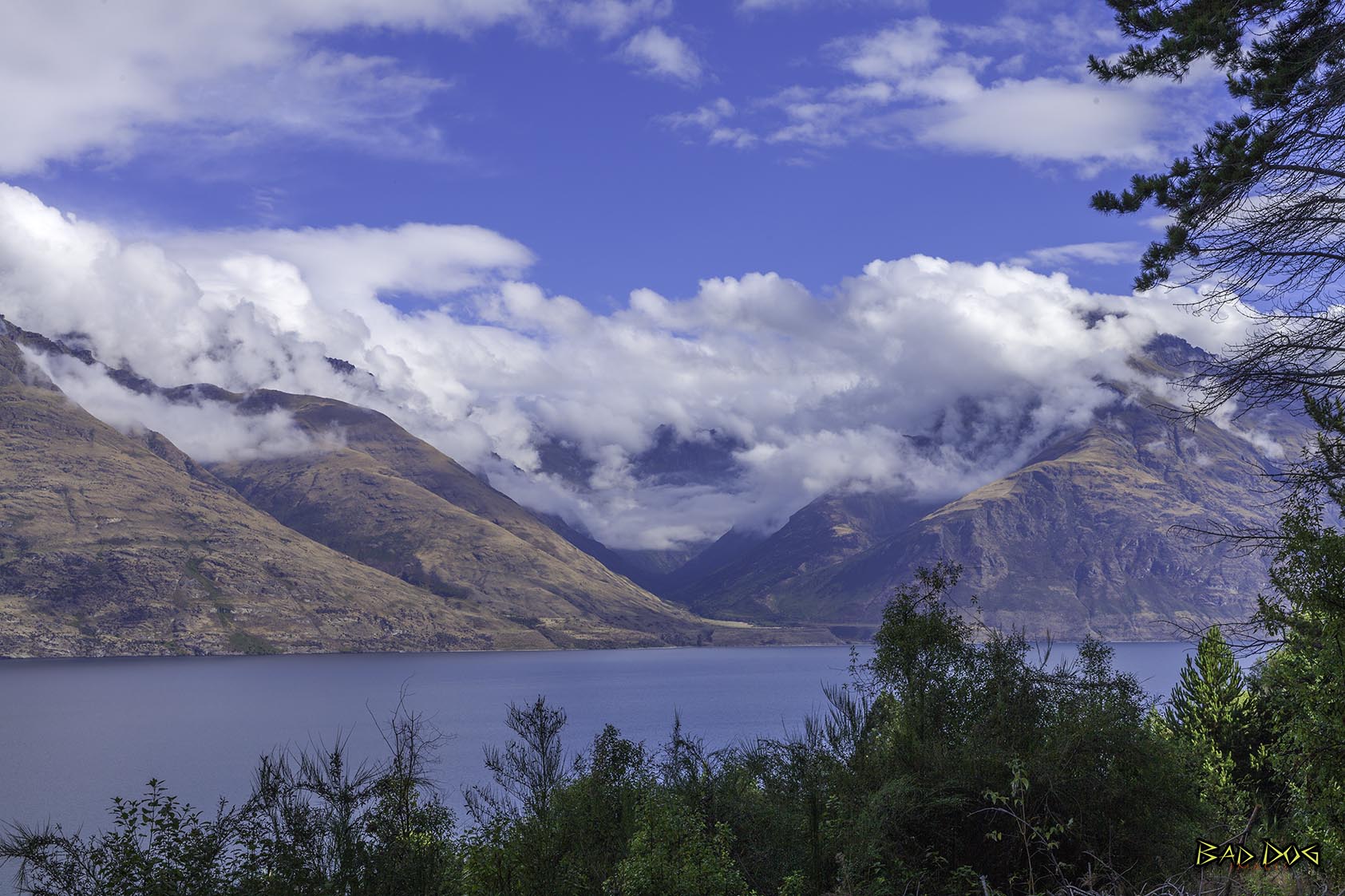
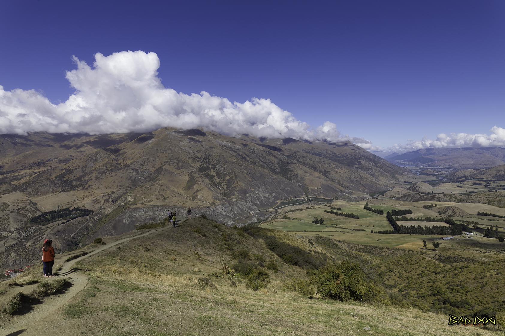
Queenstown, New Zealand, sits on the shores of the South Island’s Lake Wakatipu, set against the dramatic Southern Alps. Renowned for adventure sports, it’s also a base for exploring the region’s vineyards and historic mining towns. There's bungee jumping off Kawarau Gorge Suspension Bridge and jet-boating on the Shotover and Dart rivers. In winter, there's skiing on the slopes of The Remarkables and Coronet Peak. To continue the adventure, and explore Queenstown and surrounds. Follow the link New Zealand 2017

You should contact NZ Tourism as they may be interested in using this.